
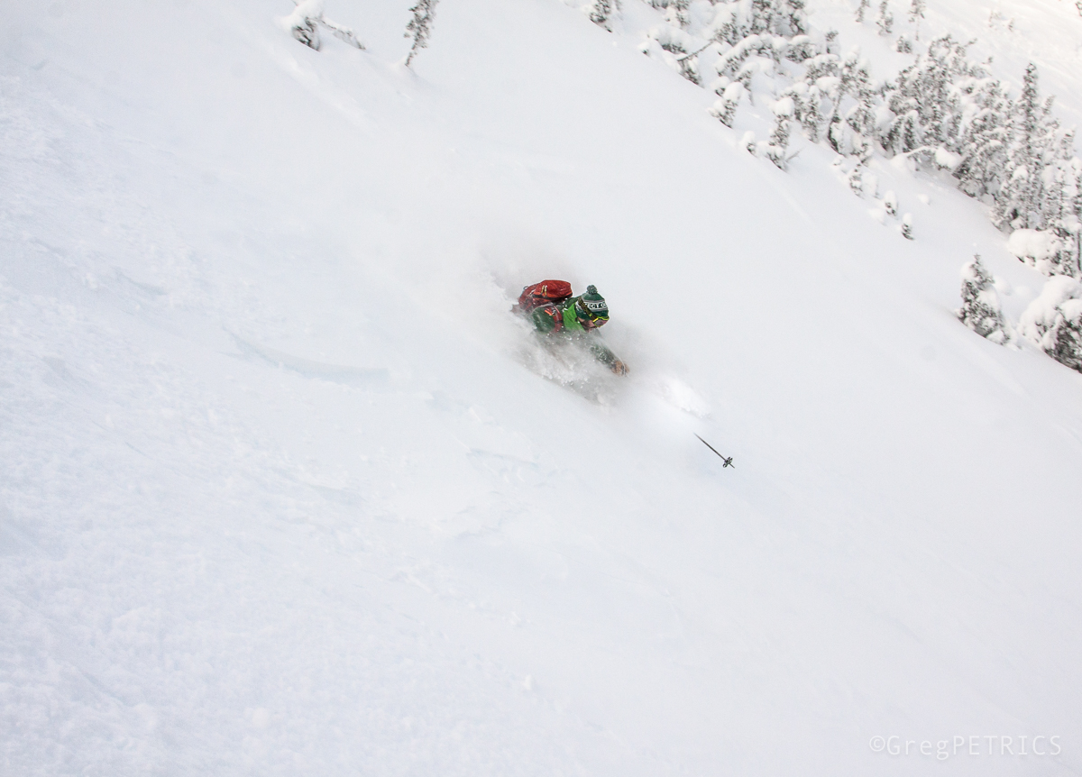
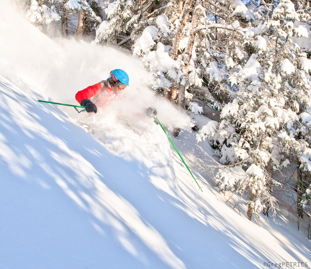
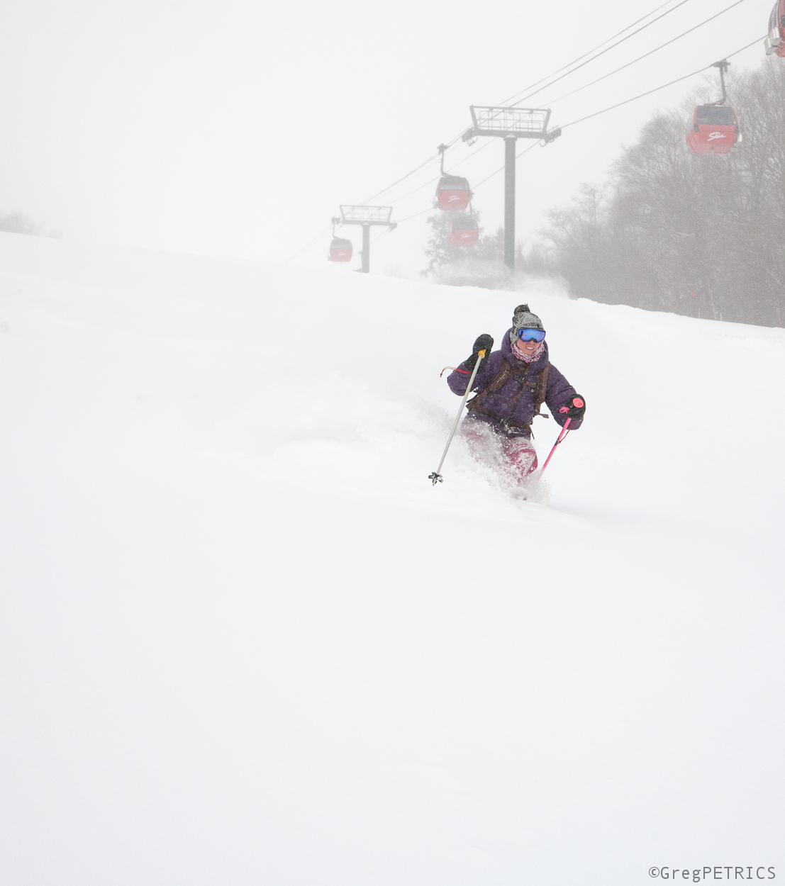
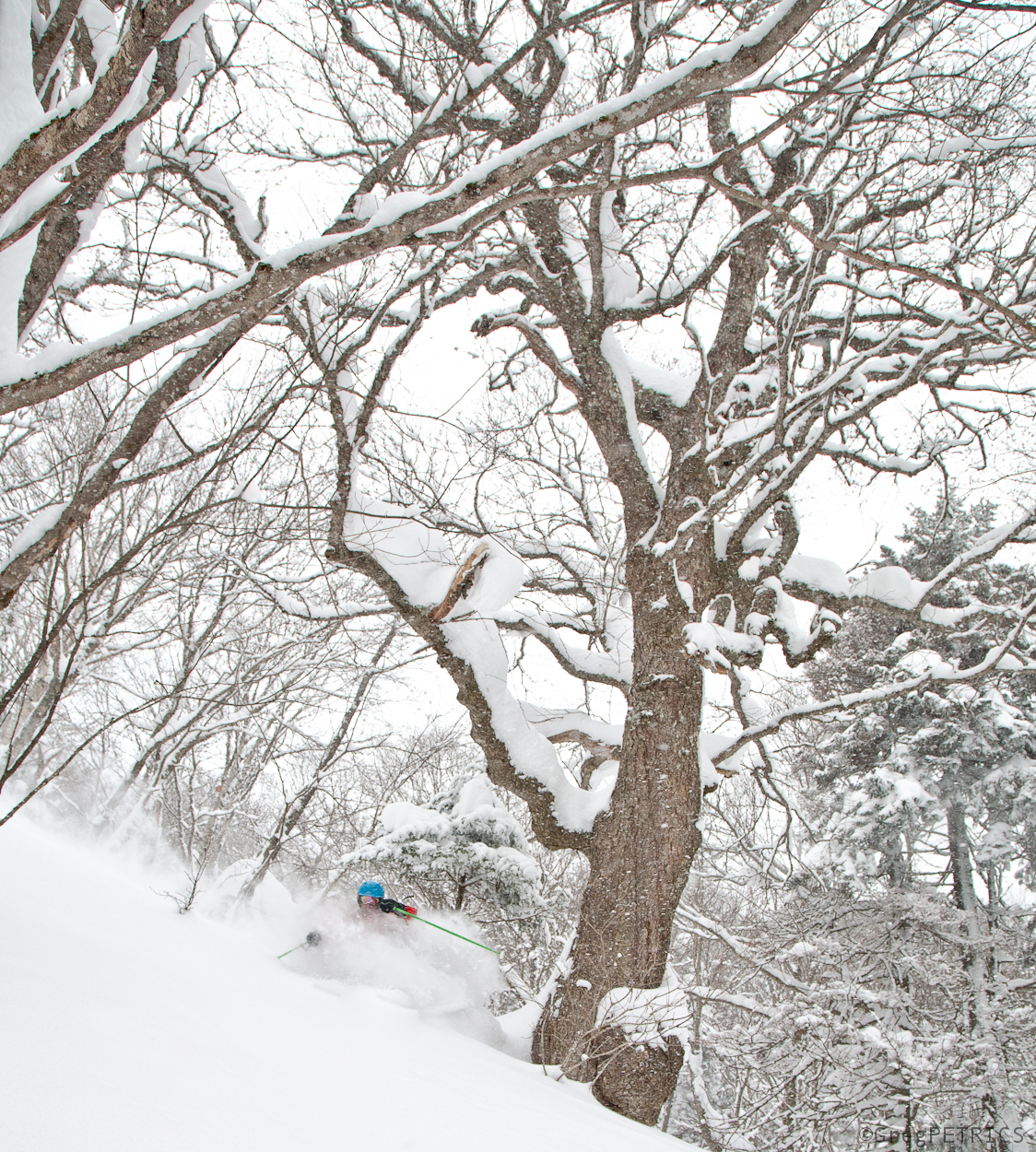
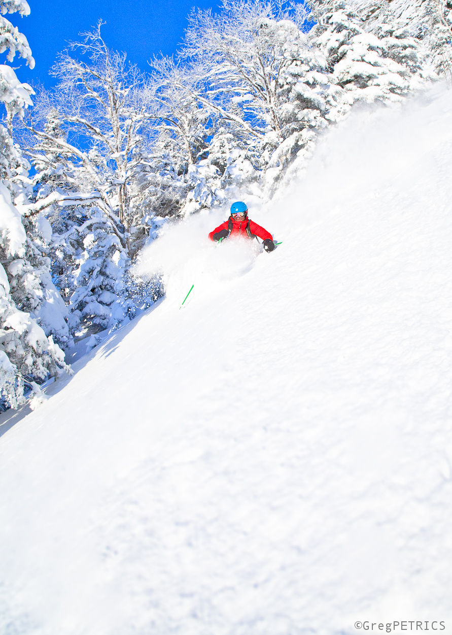
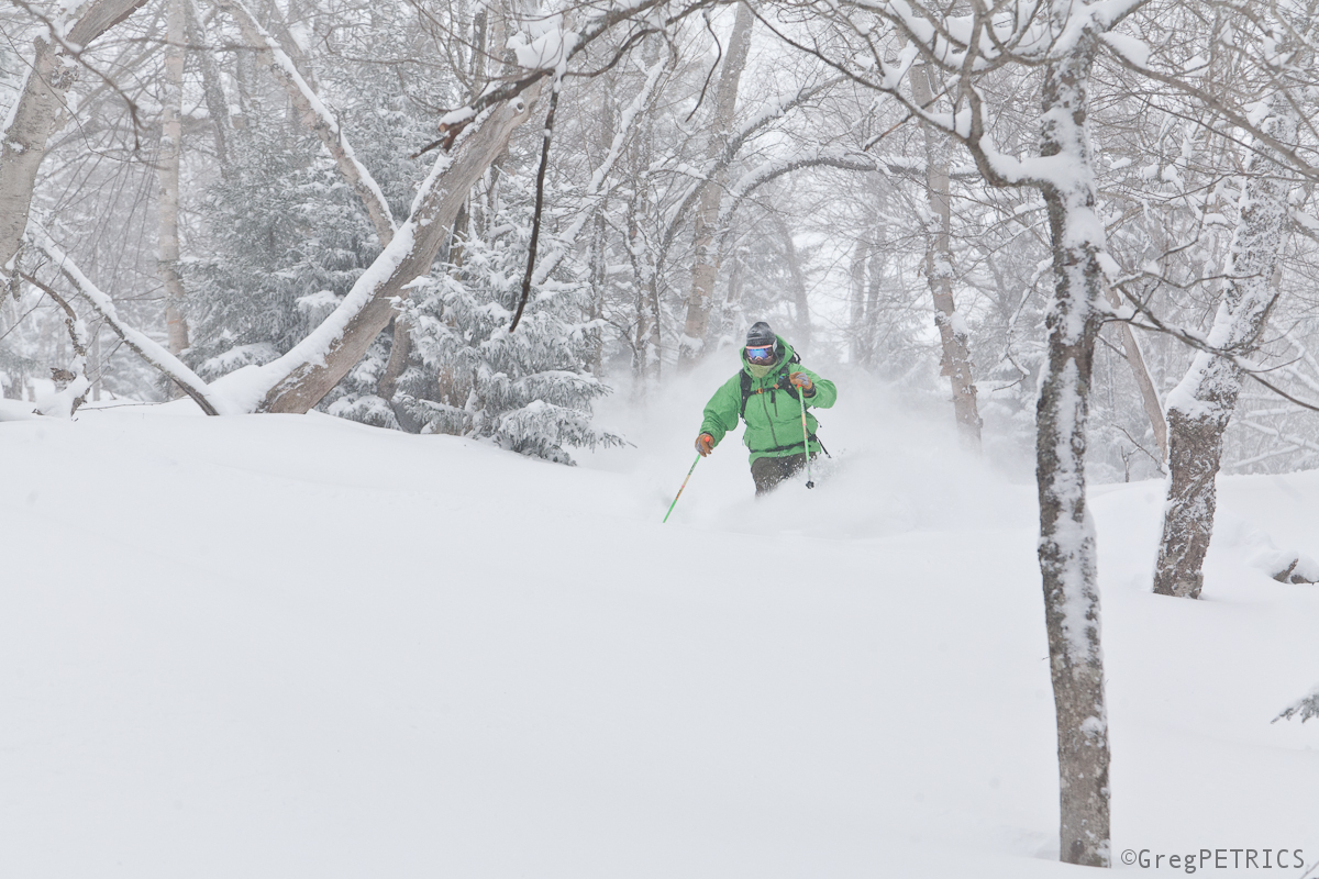
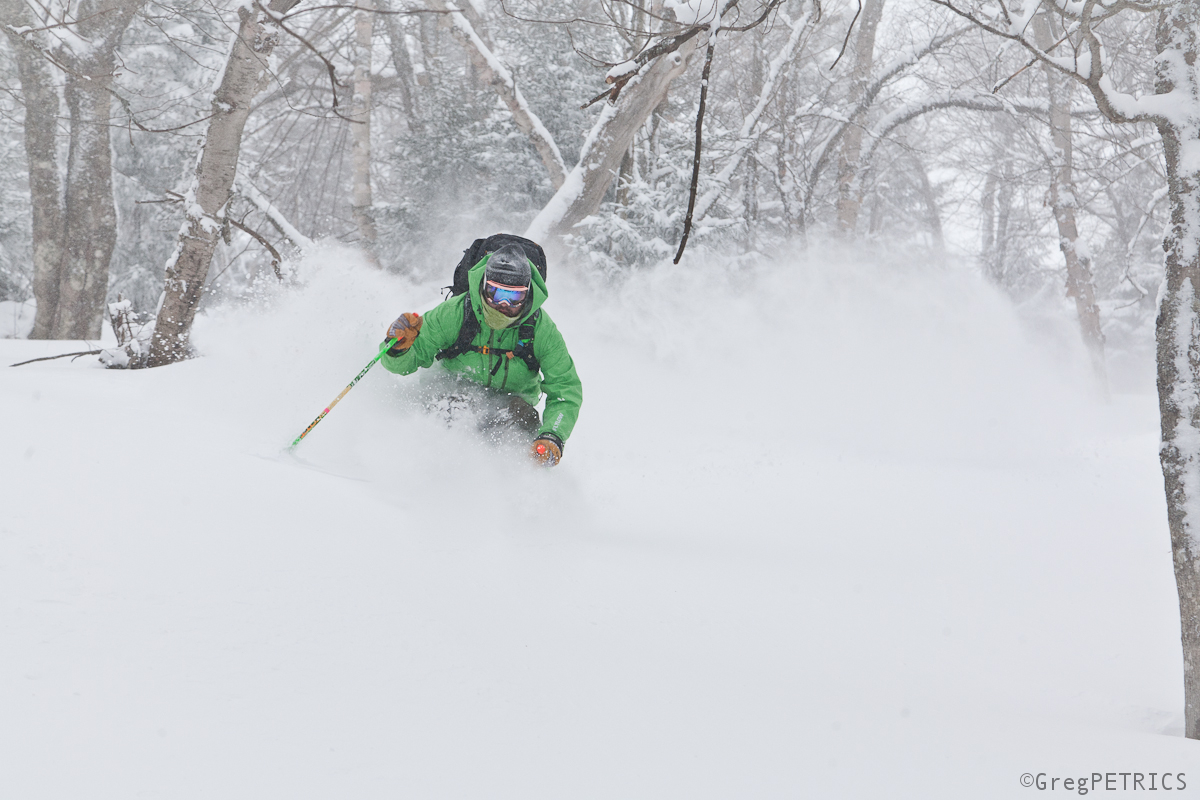
I don’t have to tell you animals that the most epic shows are wherever The Band sets up. Want to catch a killer show? Hit the road, and follow The Band.
Sometimes The Band throws down a show at a smaller venue for the groupies out in the American heartland.
The Effect can be unreal.
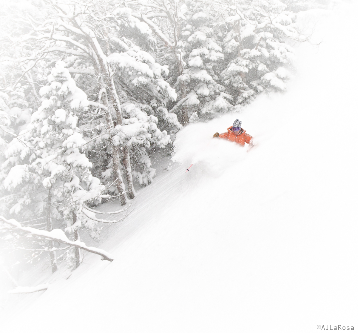
Other times The Band goes all international and books a big stadium near a city for a well publicized show.
Très bon
But maybe the most fun shows of all are those serendipitous ones; when you’re in town for another reason, and The Band turns up almost as if its following you rather than the other way around.
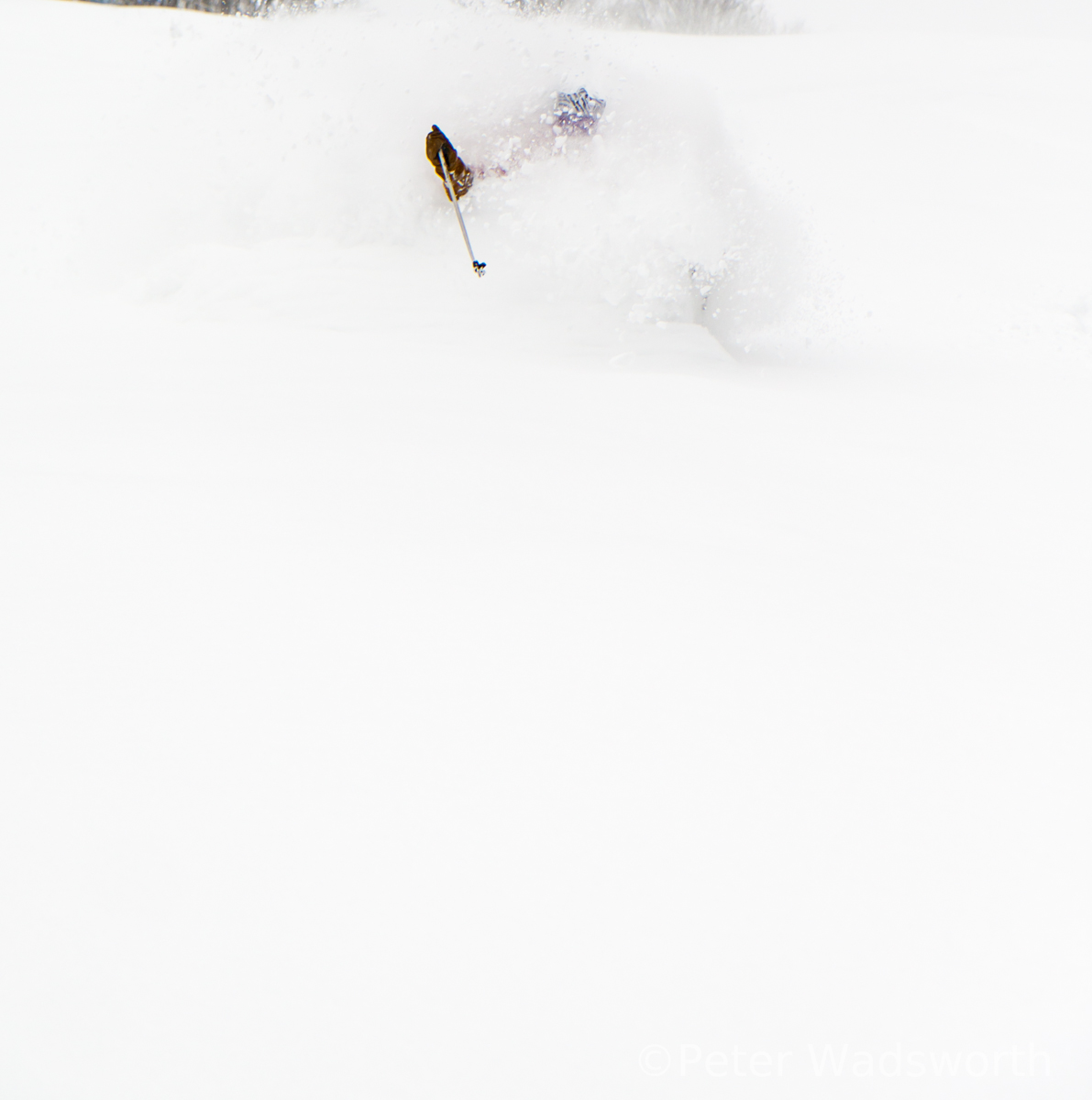
You weren’t quite ready to party, but you get your shit together as fast as you can.
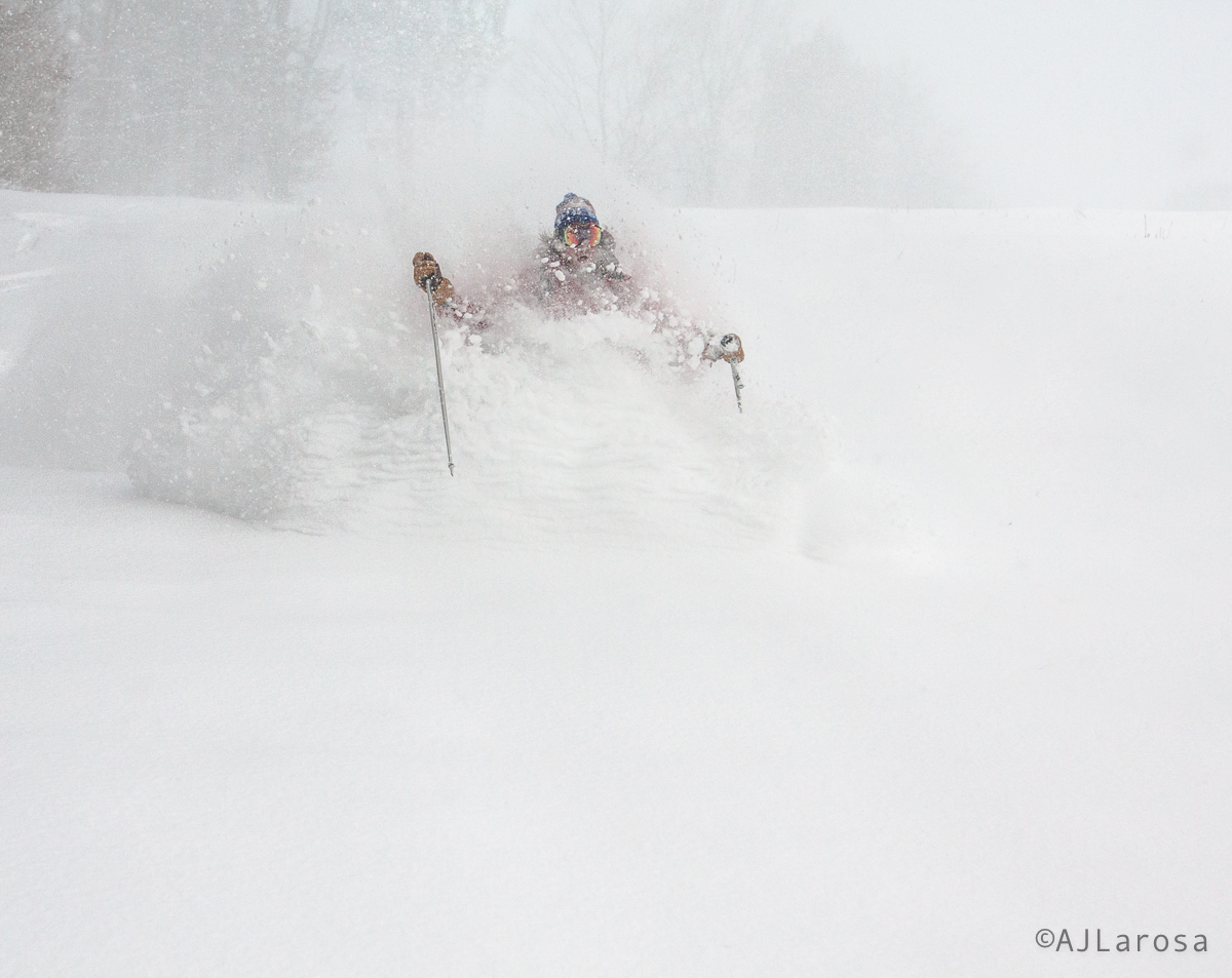
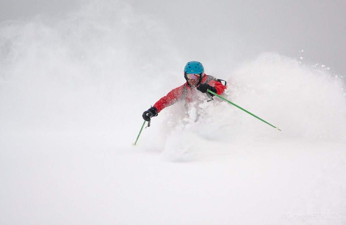
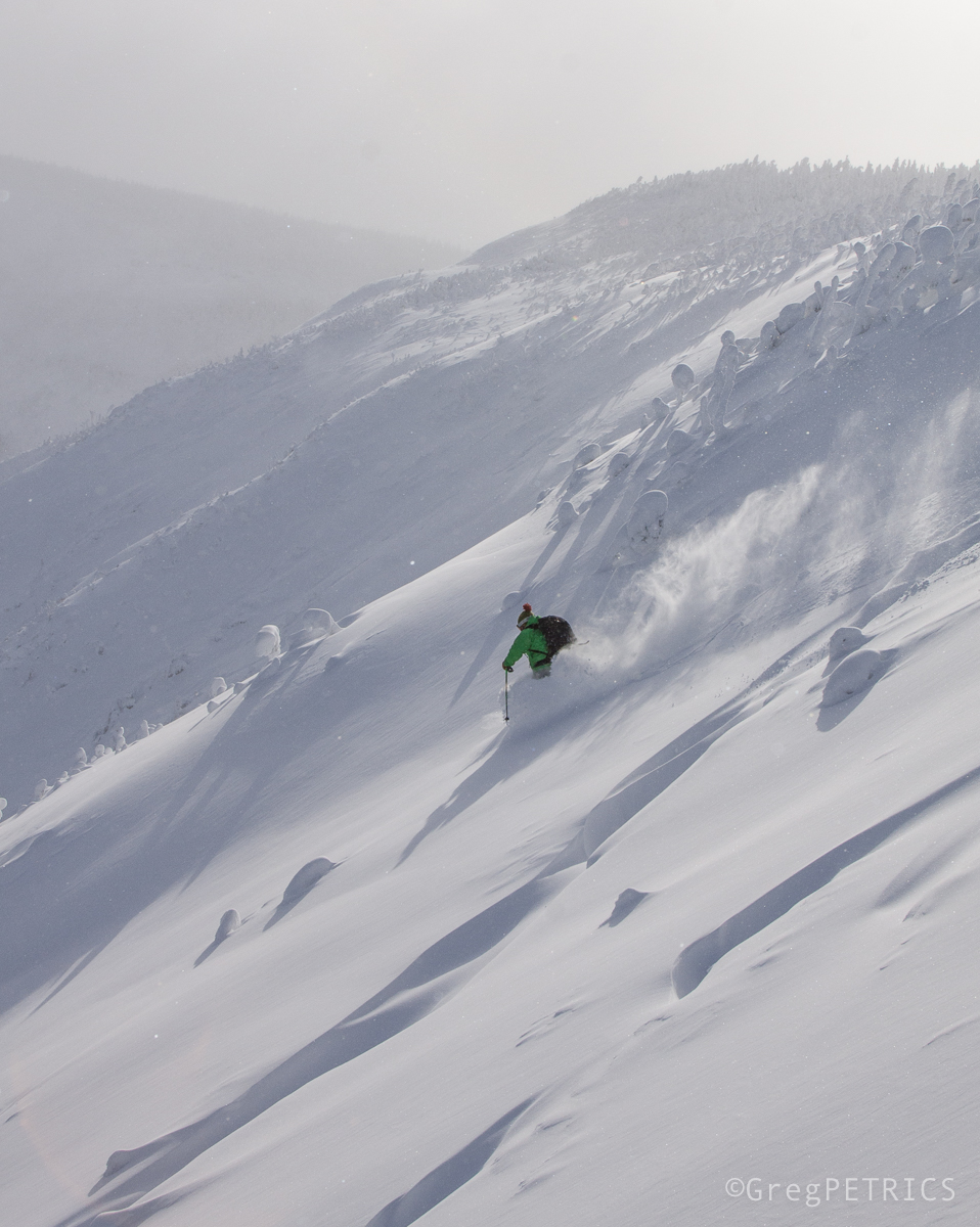
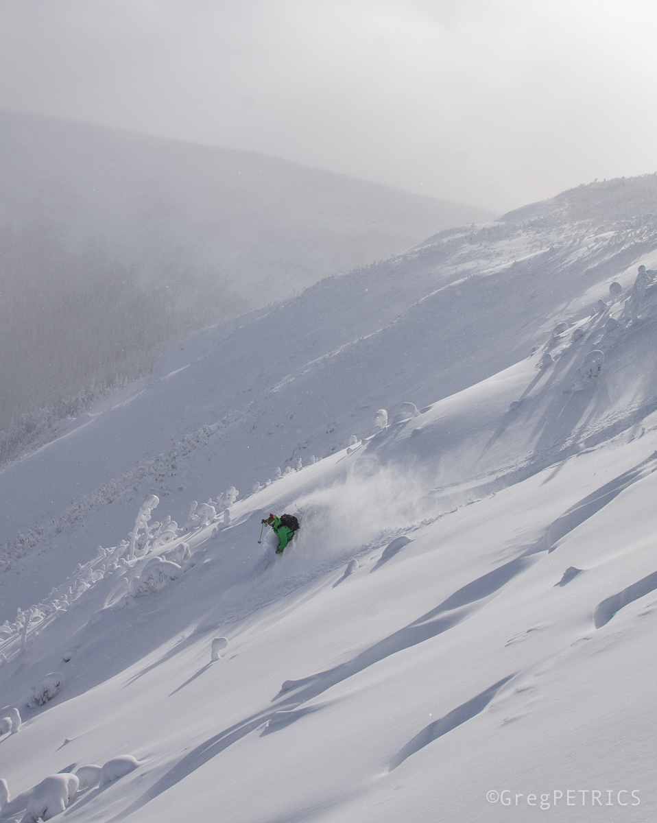
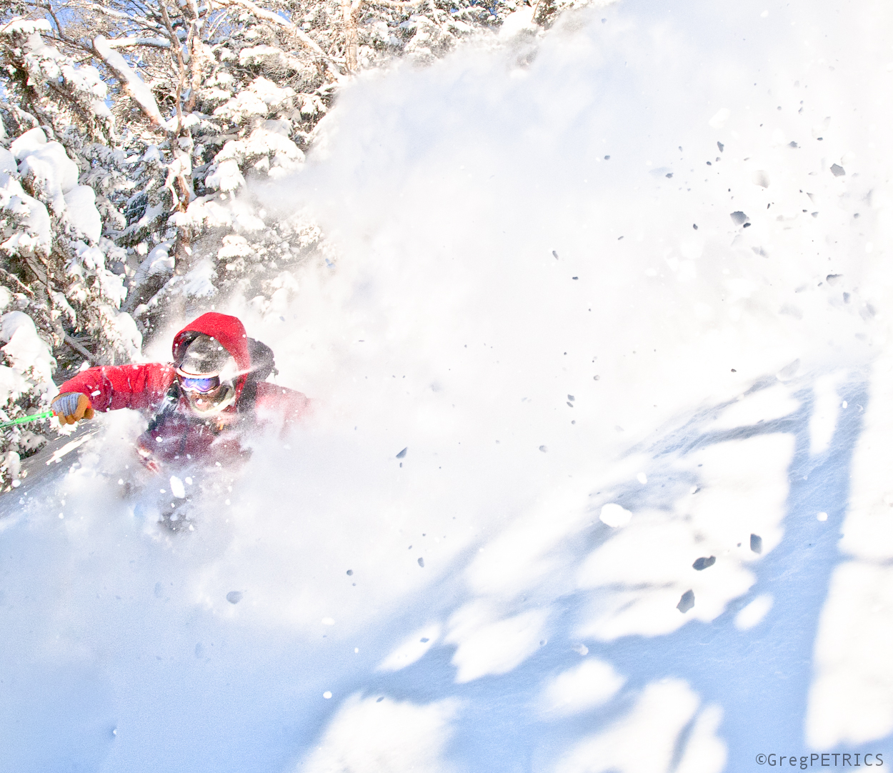
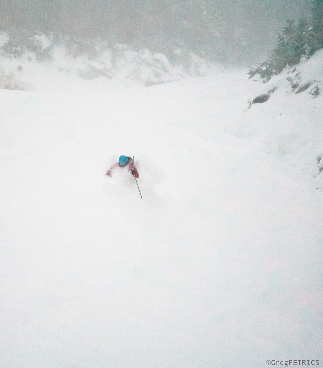
As the show relentlessly falls, things can get a little blurry.
The whole show storm is so unexpected, you might even think you’re in a dream…
…or seeing ghosts…
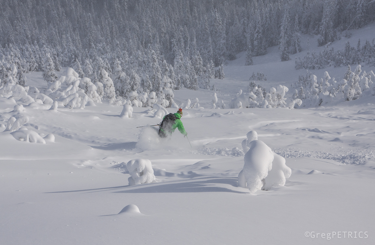
or trolls…
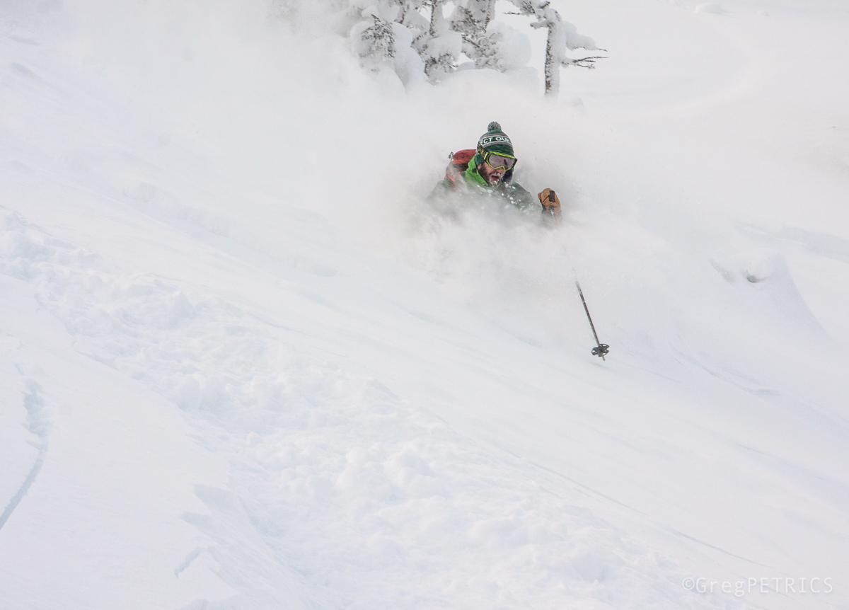
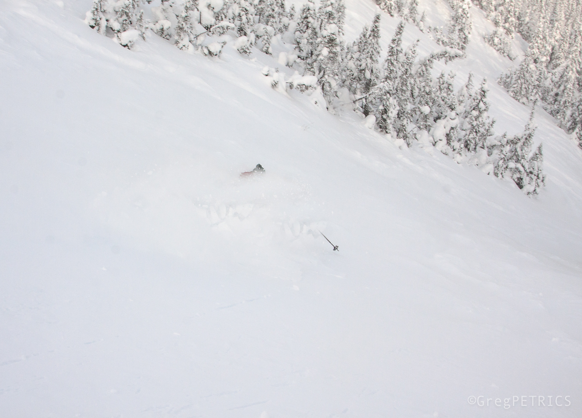
…and The Band plays on.
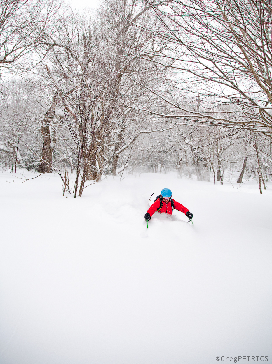
Winter is coming. But first, more summer.
I’m uncomfortable with surprise (among many other things…human contact, nice people, spiders).
It is how I’m wired. Being a lawyer certainly reinforces it. I research, analyze, review and plan. I define the options, weigh the contingencies, have alternative strategies, document the known unknowns and unknown unknowns, develop a BATNA and plan for the worst. Thus, surprise, is antithetical to my daily experience. If I get “surprised,” more often than not, something has gone horribly (and expensively) wrong.
Trieste, Slovenia and Croatia surprised me. ( I went there, and this is a Trip Report).
And I loved it.
I’ve wanted to go to Slovenia for a long time. It’s a small country with a long history. Documented settlements date back to the Roman empire, and cave dwellings further back than that. Moreover, like other interesting parts of this world, Slovenia has had many “mothers” over its history. In just the last few hundred years it has been partof the Ottoman empire, the Austrian-Hungarian empire, the Italian states and incorporated into Yugoslavia. Tucked up against the high limestone eastern Alps,with a broad fertile plain and connection to the sea, Slovenia has always been a crossroads between the west and east. I’m the moth, that’s the flame.
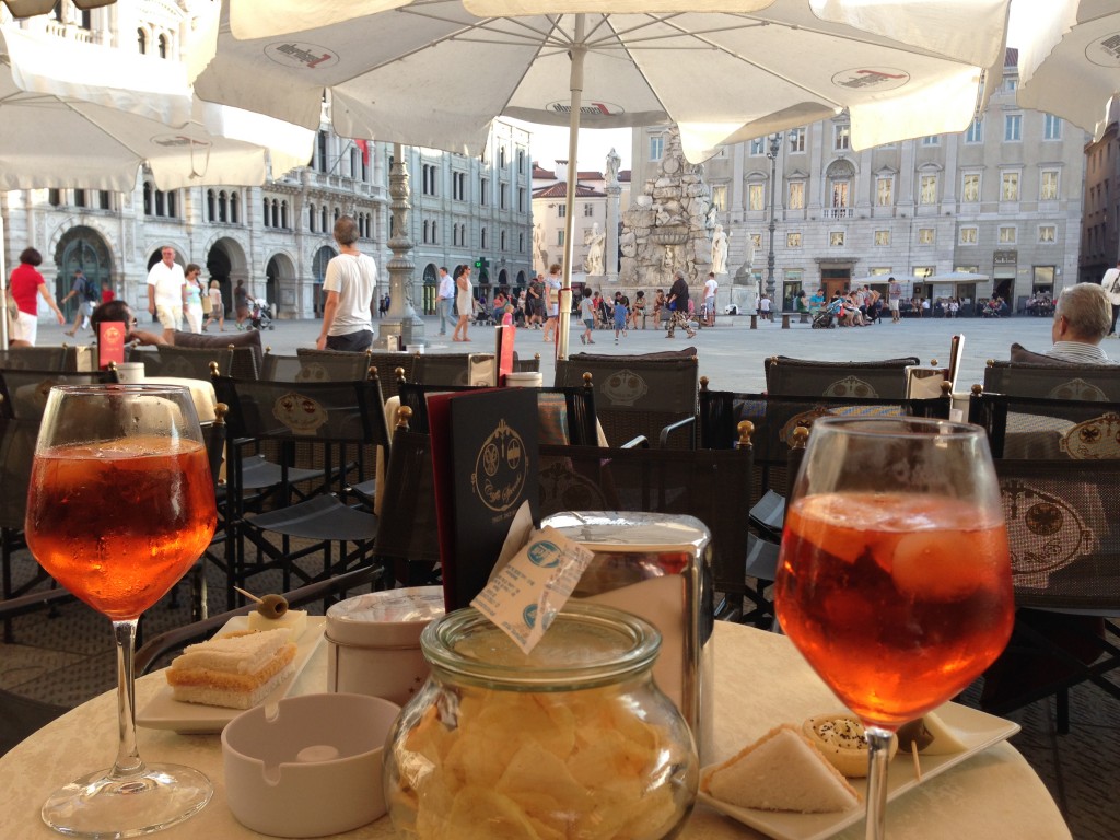
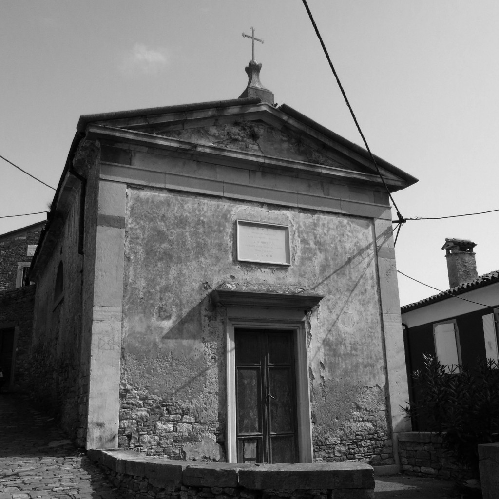
Surprise though began in Trieste, a good gateway to Slovenia. Like Slovenia, Trieste Italy has had a long blended history. At times it has been controlled by Romans, Venetians, Austrians, Italians, and even was an independent state.
I mean are we in Italy?
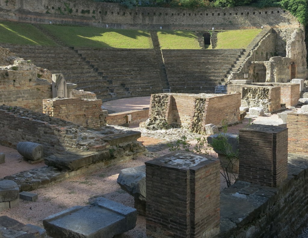
Or are we in Austria?
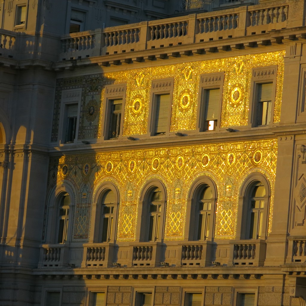
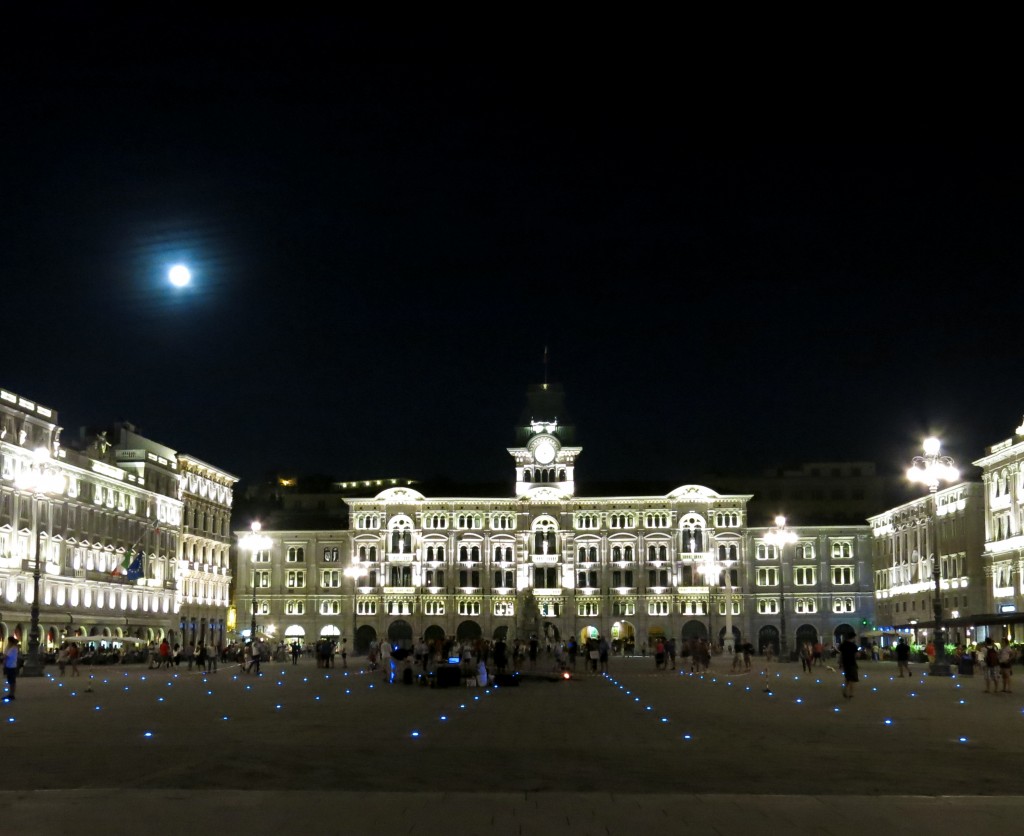
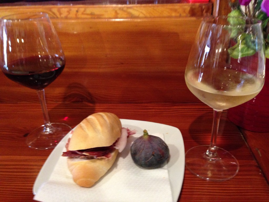
It’s hard to tell. And frankly, I didn’t care once I realized that the marriage of Italy and Austria-Hungry resulted in such wonderful things as cold Aperol Spritz’s with salty snacks at 4 p.m. (and 2pm and 3pm and 5pm…and 11 am).
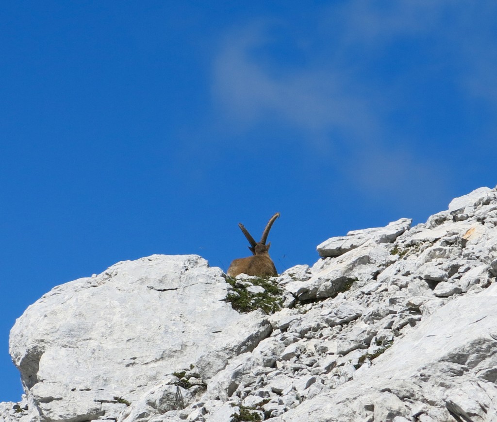
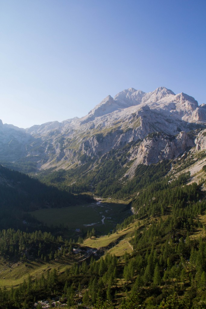
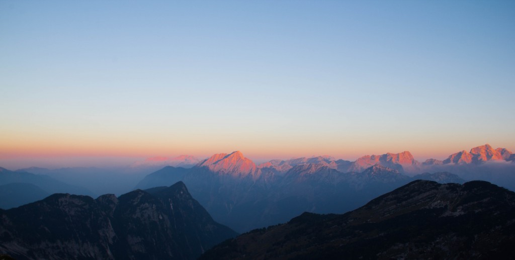
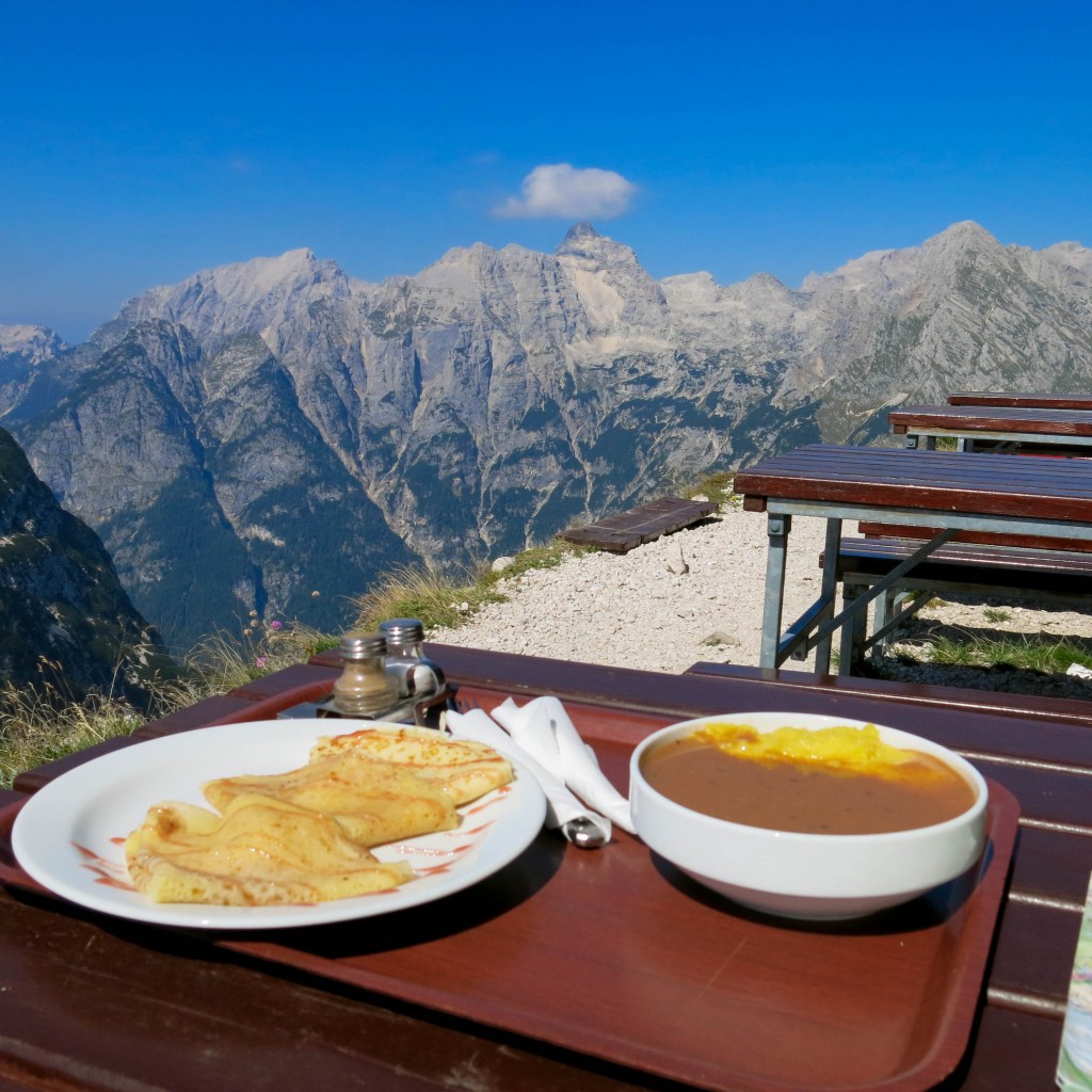
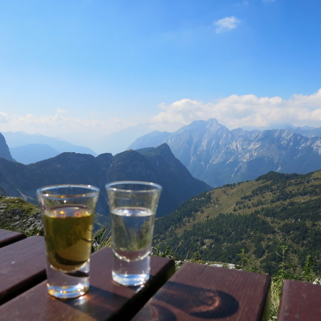
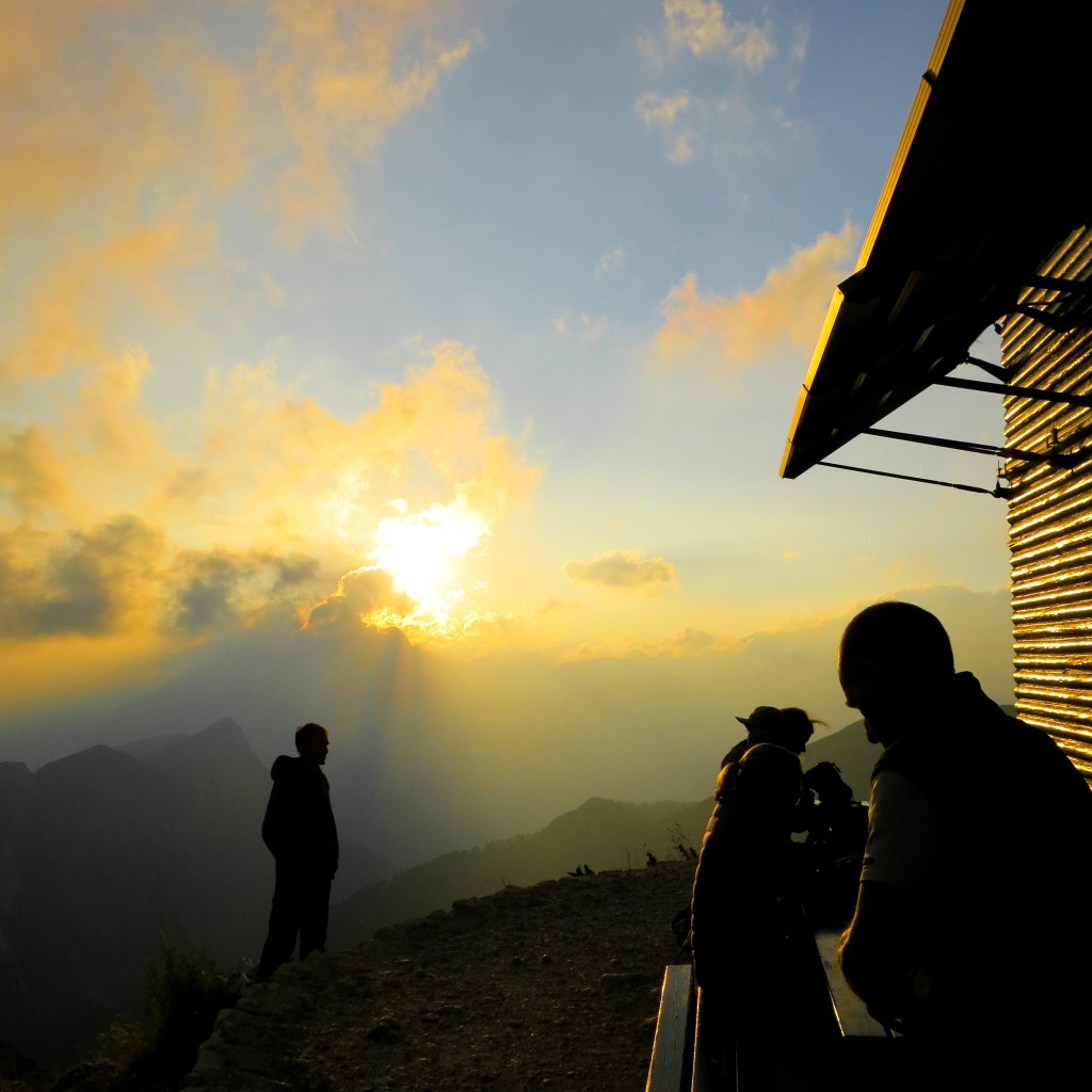
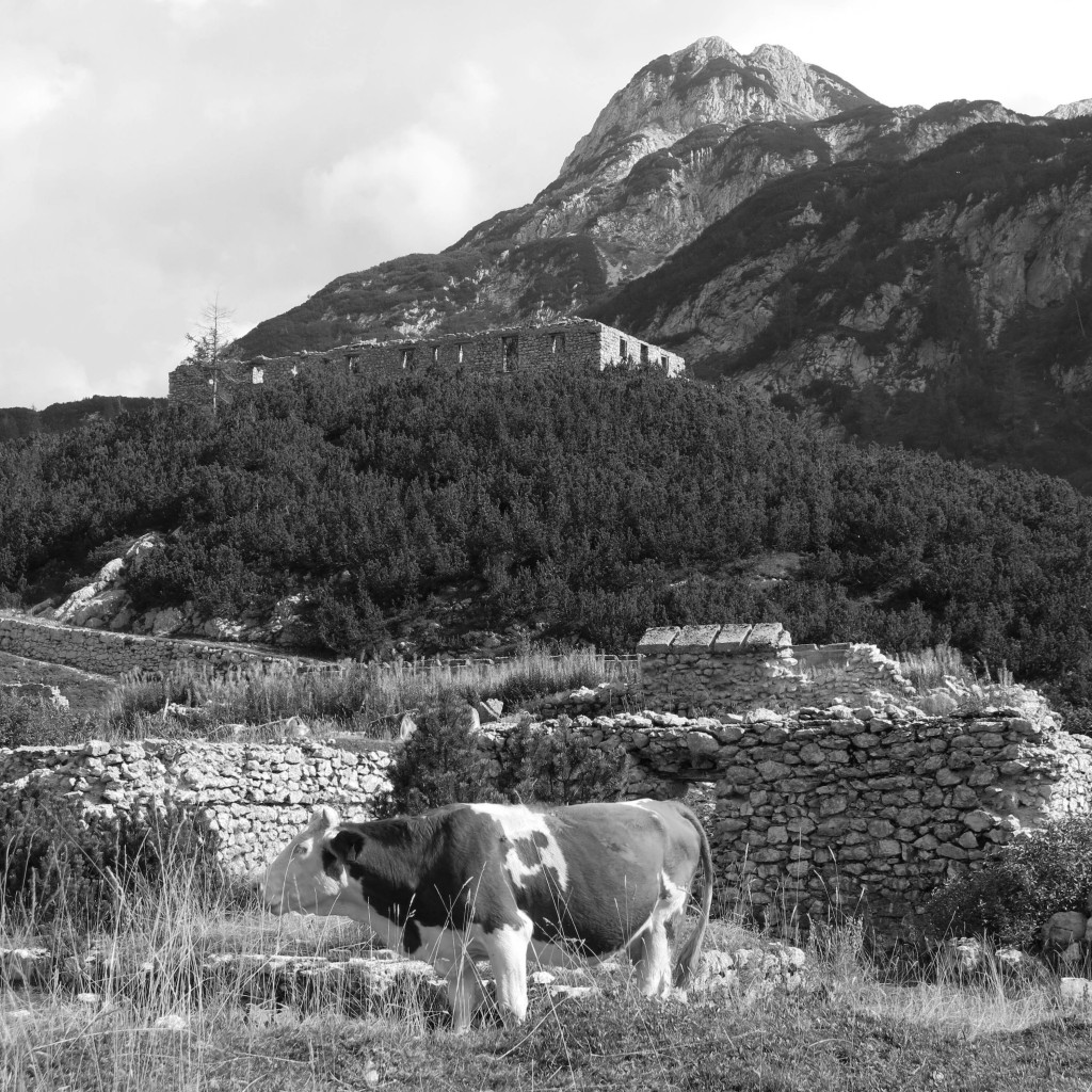
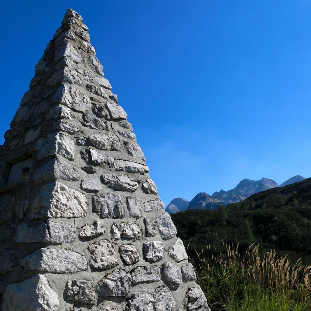
After a few days it was time to move on to some cooler (or so we thought) mountains. Surprise, they weren’t cool. Surprise they were awesome. Six days of trekking through the Julian Alps was a blur of fantastic vistas, punishing sun, homemade food, full-service mountain huts and grappa.
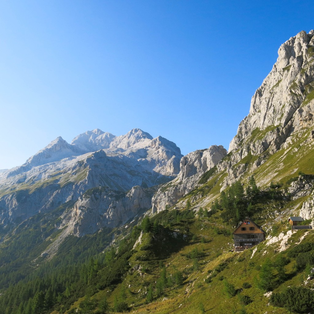
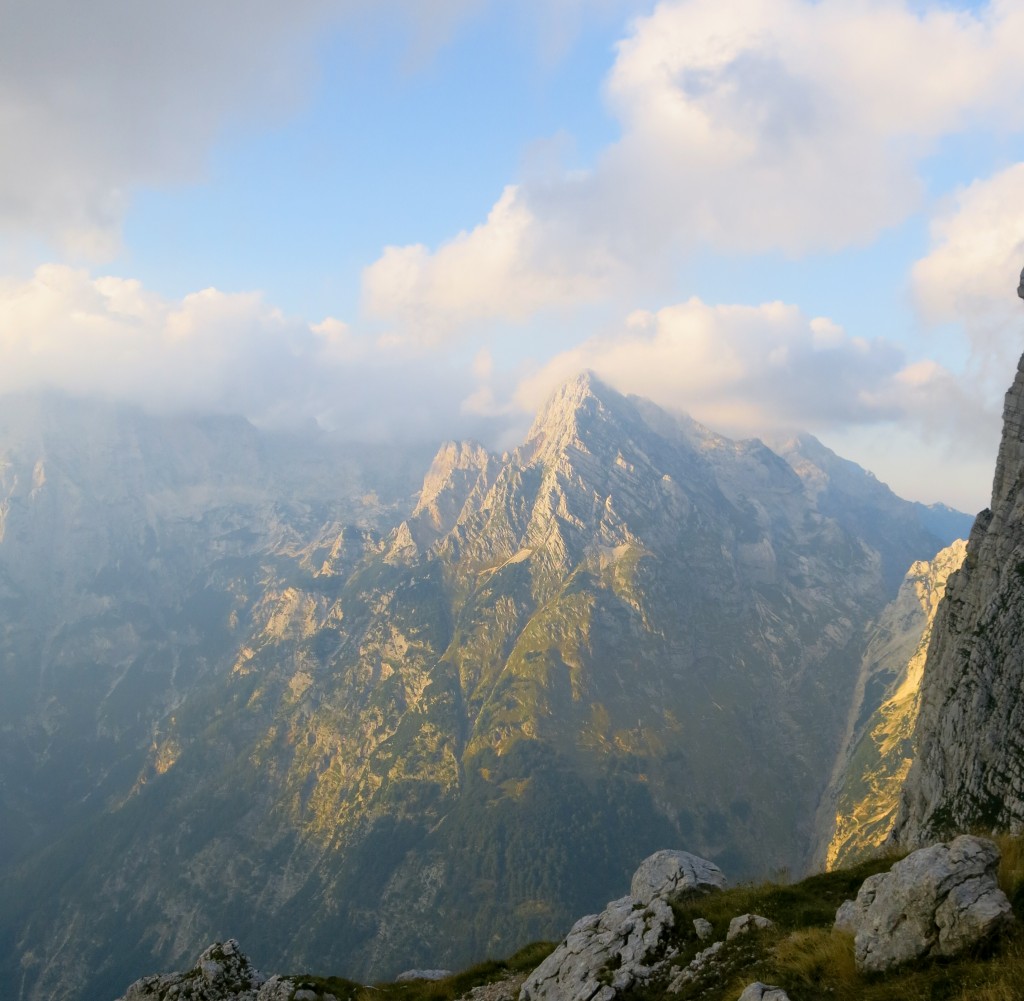
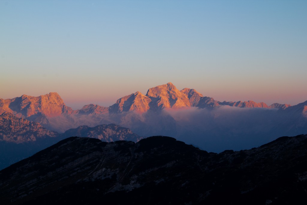
If you keep walking you get to a pretty awesome hut with no running water and only crowded stinky (seriously stinky) dorm accommodations. Surprise, nobody cared.
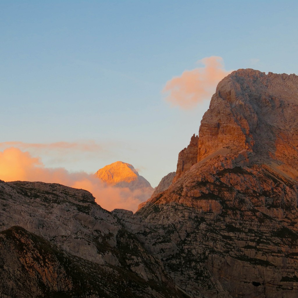
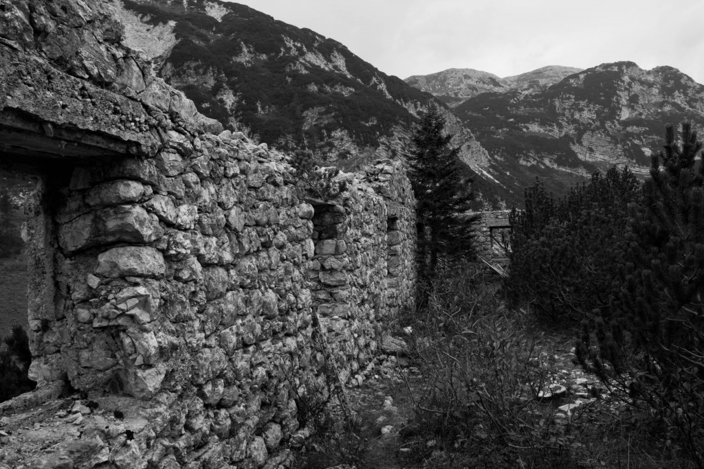
Towards the end of the trip, we wandered into an area that had seen some of the heaviest fighting in World War I. There are old stone bunkers, field hospitals and barracks all over the mountains in this area, including along the old front lines which ran along the ridgeline of some the highest mountains.
Let me repeat that: they fought a war on knife-edge ridges 7000ft in the sky. In the 19-teens. All year long. Wearing only wool and with no advil. Surprise, we’re wimps.
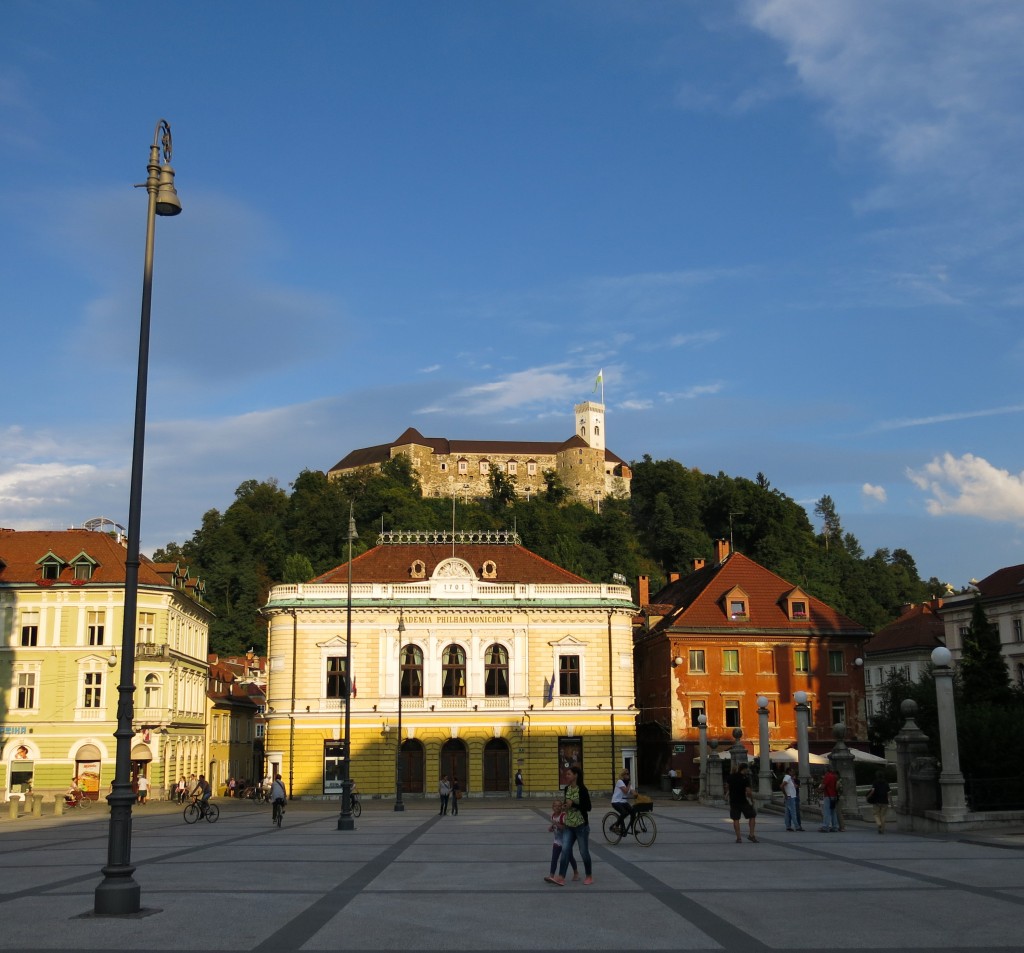
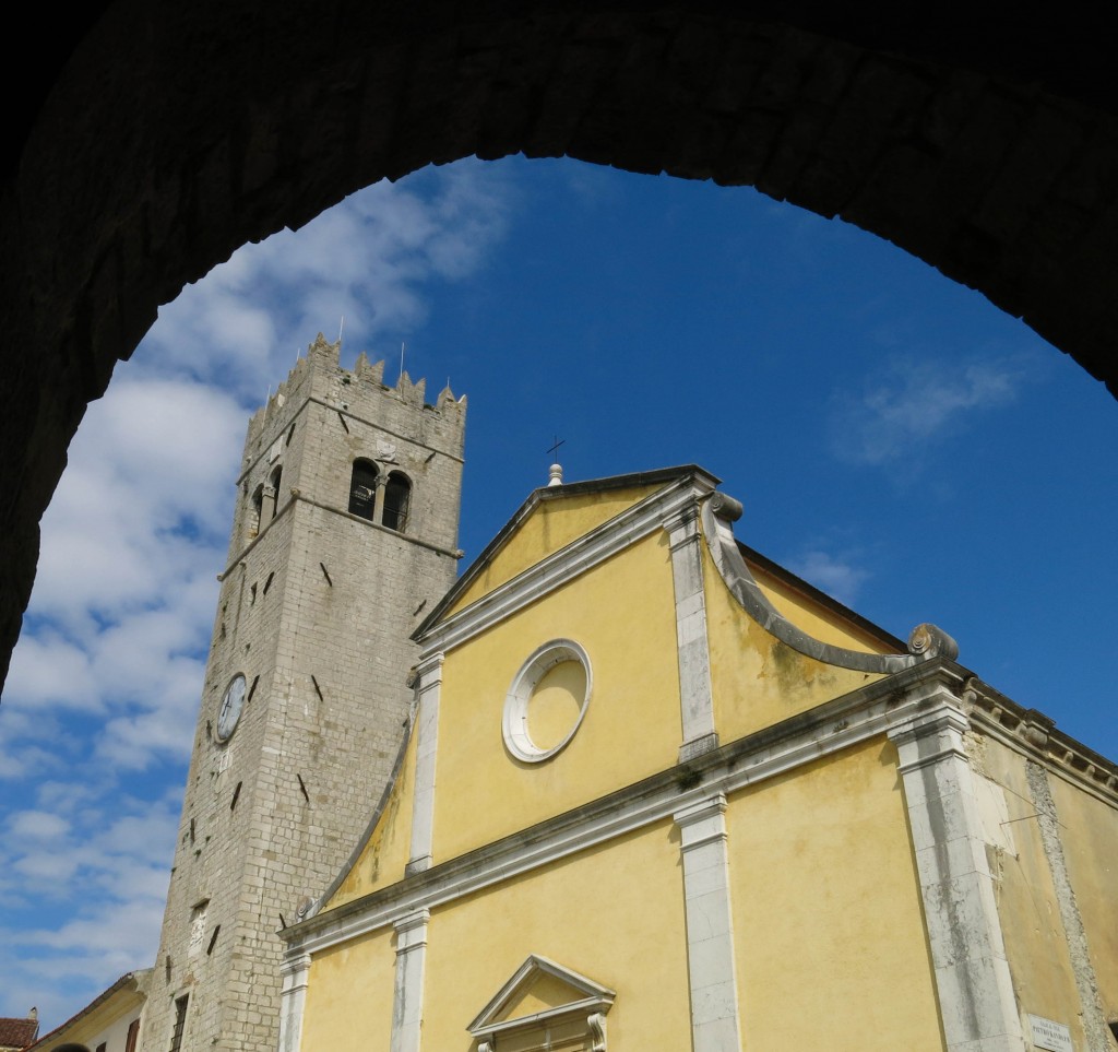
Following a boot explosion (grrr) it was time to leave the mountains. Wanting to check out Ljubljana, and thinking a hot shower would be valuable to maintain relationship bliss, we headed that way. While we had a an auspicious introduction to Ljubljana (the original hotel we booked was wedged between a stone crushing operation and a used auto car dealership and across the street from a derelict farm and monument to fallen communist brethren of the great Yugoslav Republic… Booking.com app to the rescue) Ljubljana would come to simply blow me away.
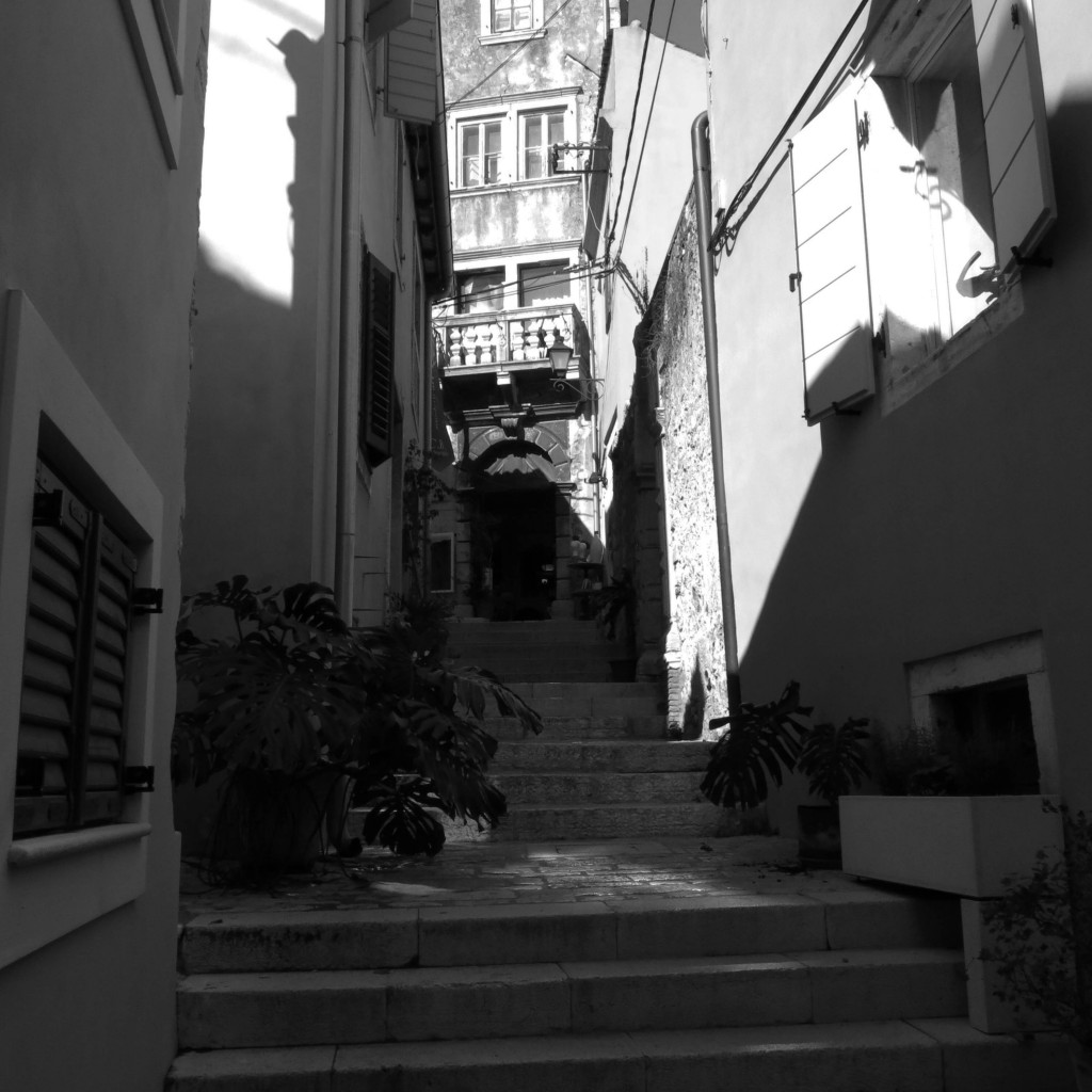
On a picture perfect late summer night, Ljubljana came alive in the way only a European city can. By 4pm it seemed the entire city had decided it was time to relax. Cafés all throughout the old cobblestone town center were packed with stunning (seriously everybody is extremely attractive here) locals enjoying a macchiato, an aperol spritz or a glass or two of exceptional local Slovenian wine.
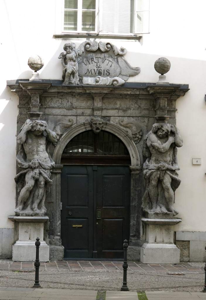
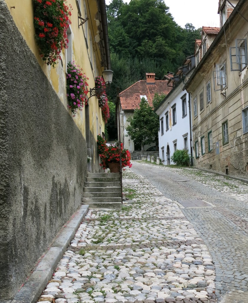
Walking around the city fueled by Slovenian wine and macchiatos, the city revealed itself to us.
After a few days of this, it was time to head into Croatia.
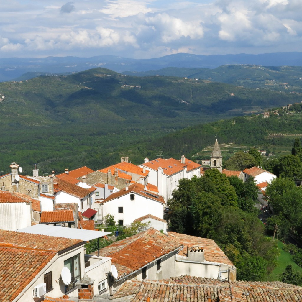
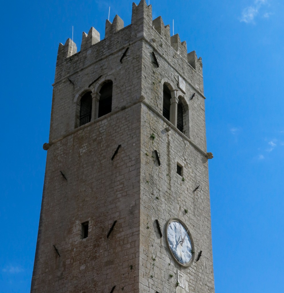
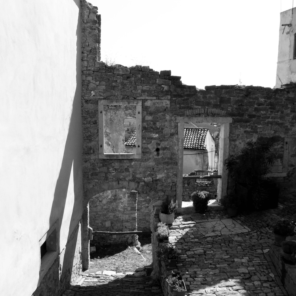
The Istrian sections of Croatia are another one of those ancient parts of the world that have had many “mothers” over time. More Italy than Croatia, I only knew Istria was a place because the Mirna river valley is renowned for its truffles. I had no idea I was about to visit a cheaper, cleaner, less crowded and more welcoming version of Tuscany. Surprise.
Istria really feels like Tuscany.
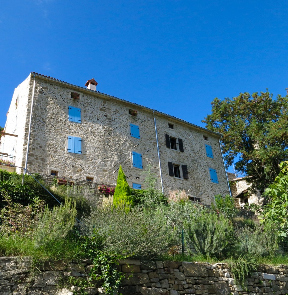
Now, if you only hit the well known highlights you’ll miss the true magic of Istria. We were tipped off by a Ljubljana local to pull off the main road and follow the signs to any one of the many small konobas (taverns) that dot the farm roads. These small family eateries are often overlooked by tourists because they sit away from the hilltop town centers, have small hand-painted signs, take no credit cards, and don’t appear in any guidebooks. But, take my advice: find one. You’ll be rewarded with a homemade meal absolutely smothered in local truffles, local organic olive oil and local white wine.
Oh, and it will cost about as much as your last dinner at Chipotle.
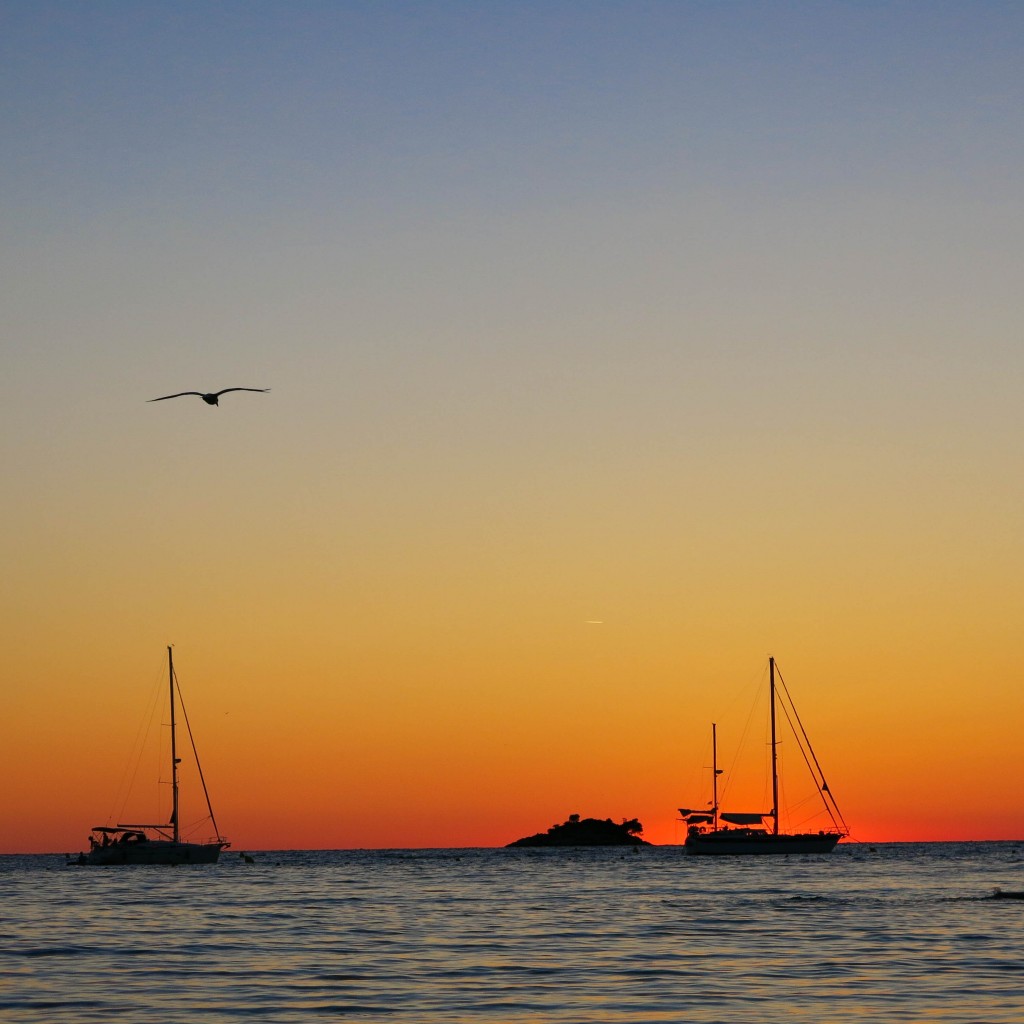
Once we finished stuffing ourselves with truffles and pasta, we went to explore the Istria coast. More tourist-y than interior Istria, the Istrian coast is still rather undeveloped compared to the Southern Croatian coast (i.e. Split, Kings Landing, Dubrovnik, and the islands of Brac and Ceres).
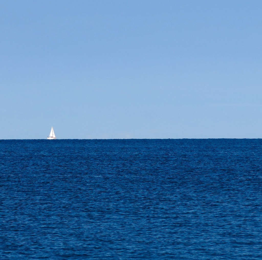
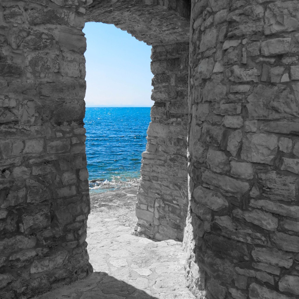
Despite the prevalence of northern Europeans who still haven’t quite nailed the “sunblock” thing, its hard not to be in surprised and awed by the beauty that results from medieval stone buildings bracketed by a deep azure sky and sparking cyan sea.
After soaking in this beauty for a few days it was time to head home. But not before one last surprise.
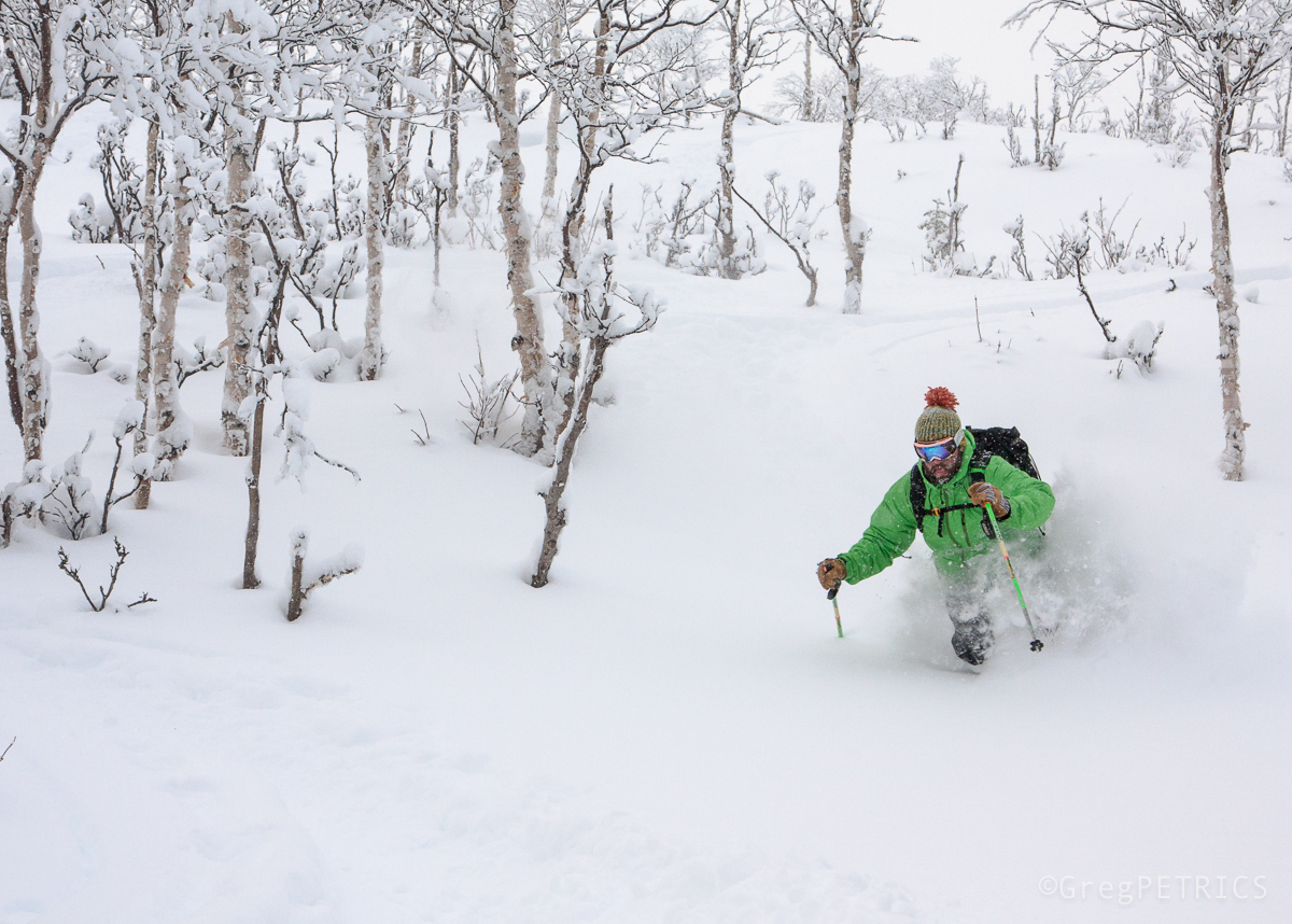
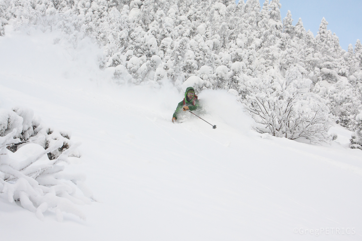
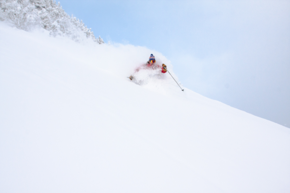
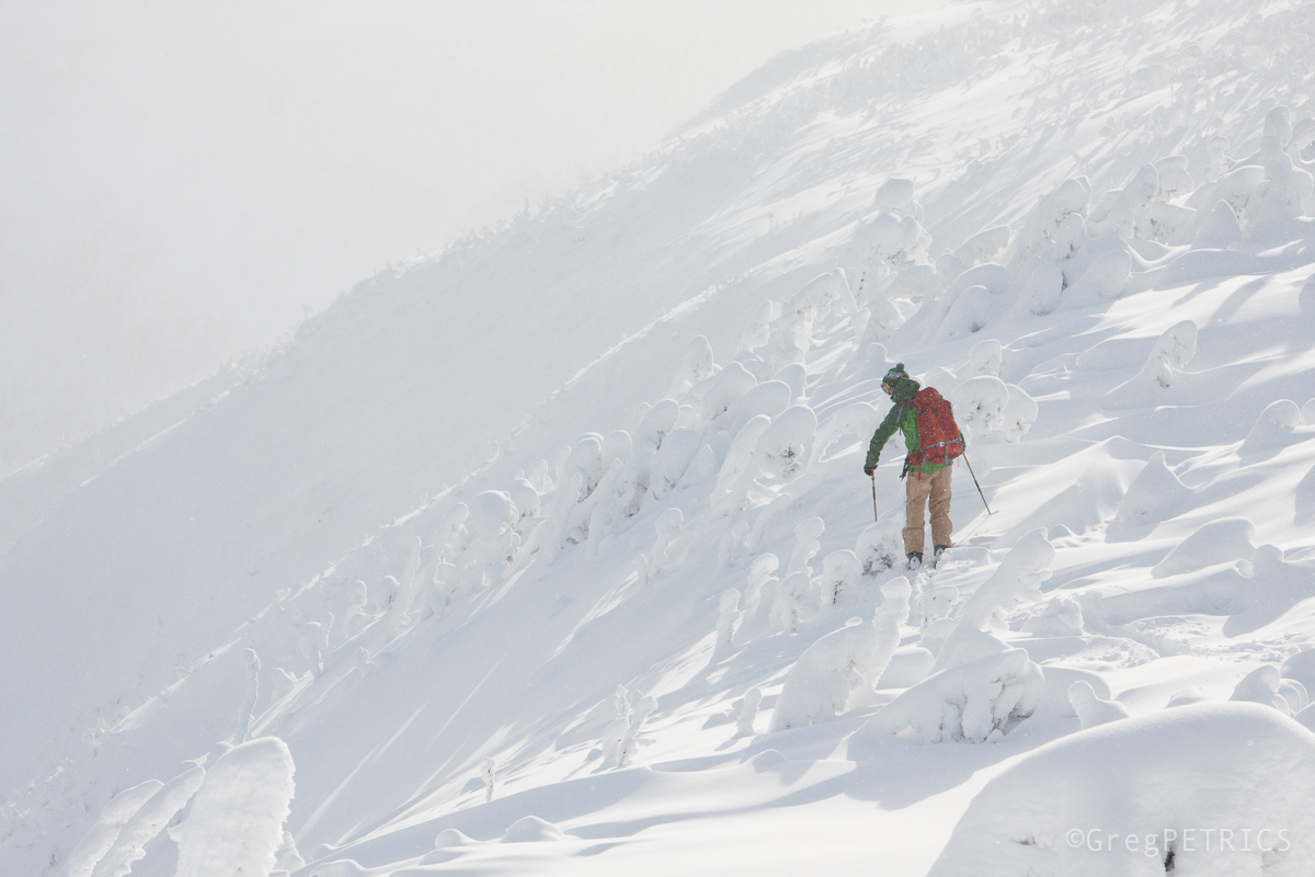
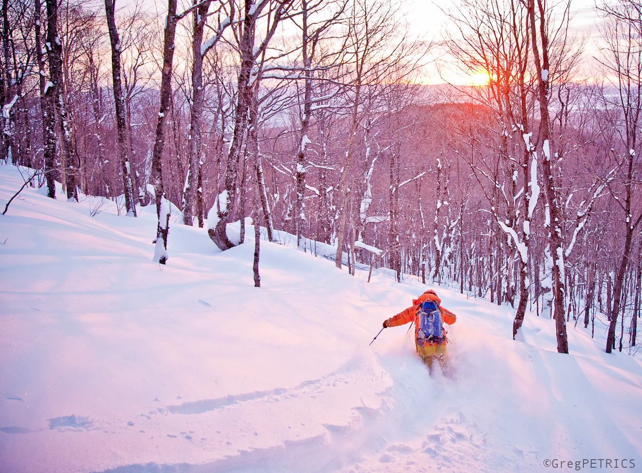
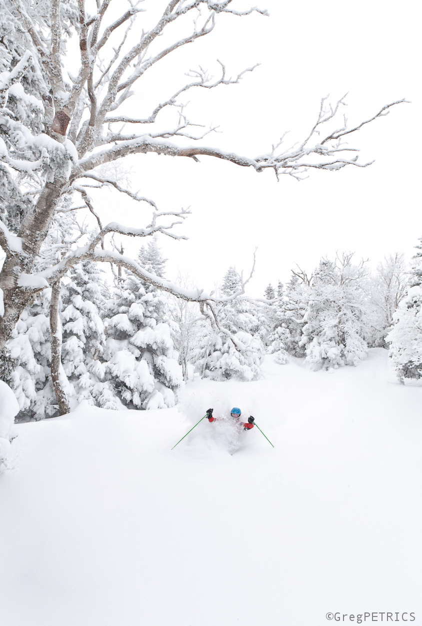
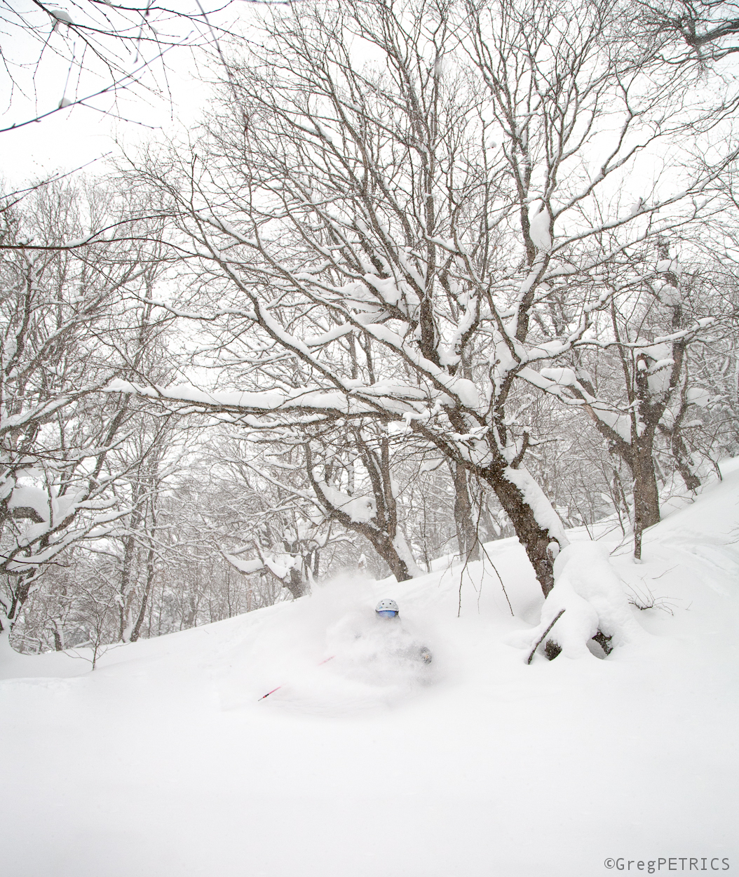
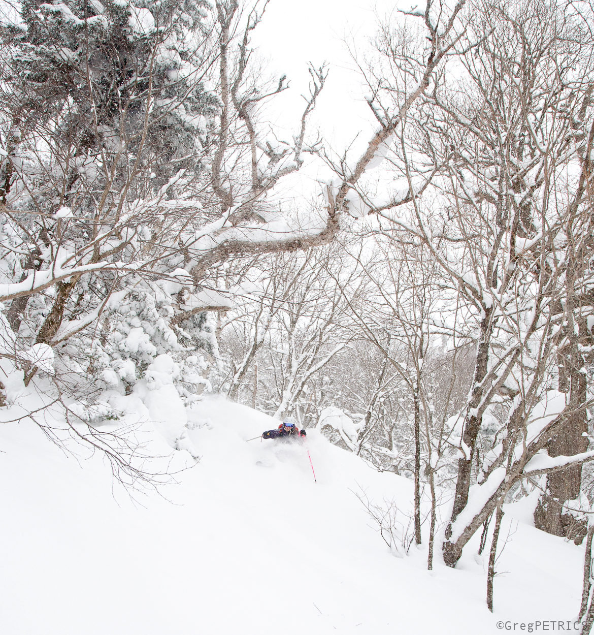
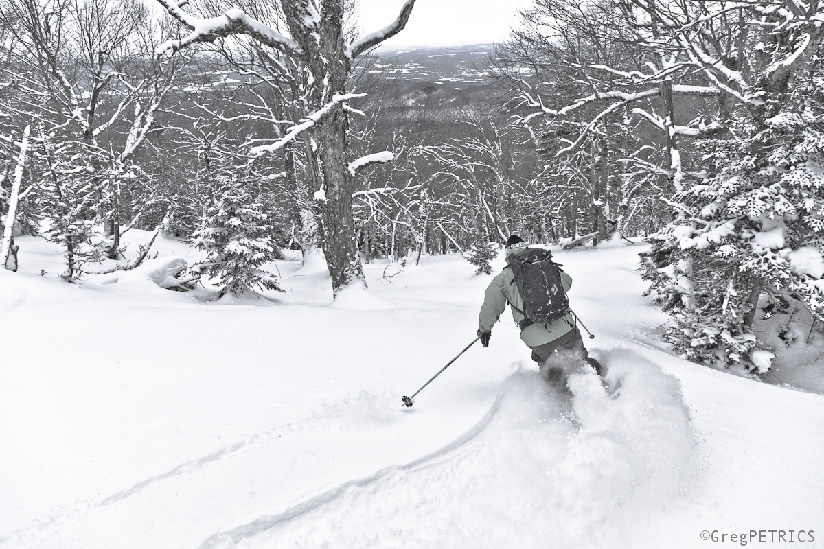
VTah Part IX: The Goodest Snow on Earth!
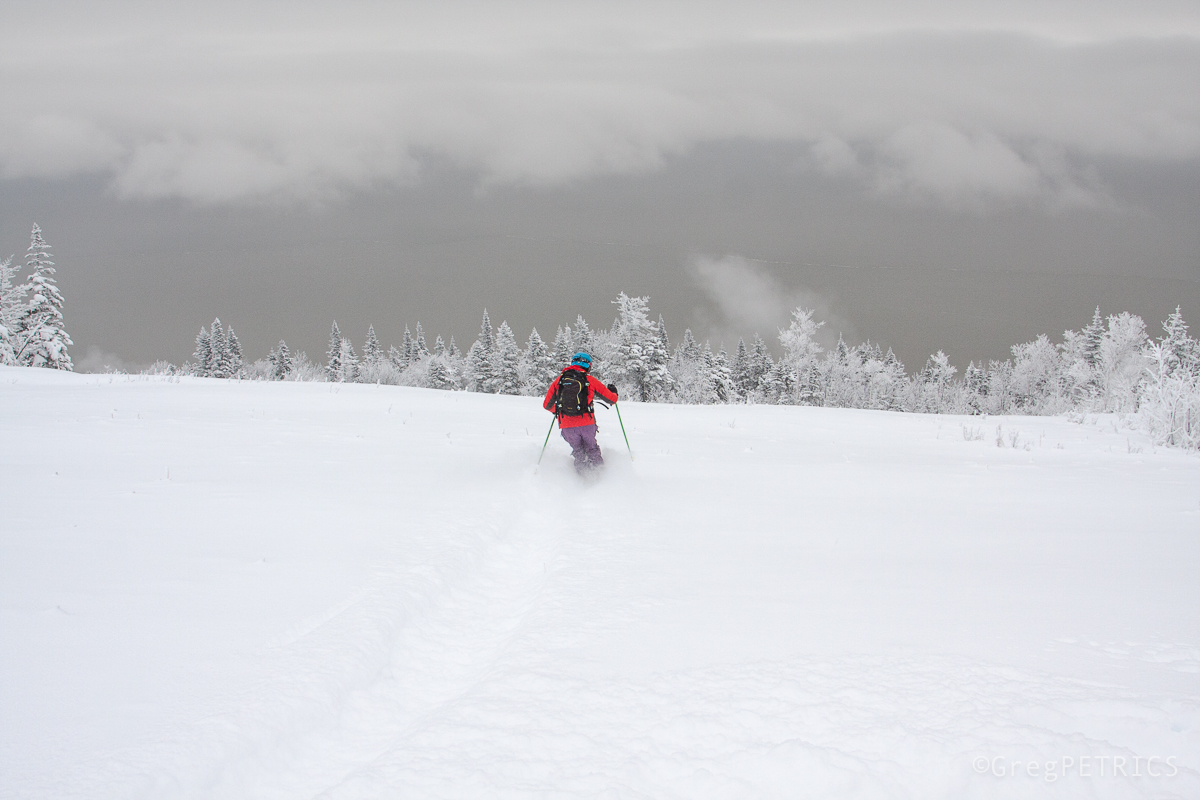
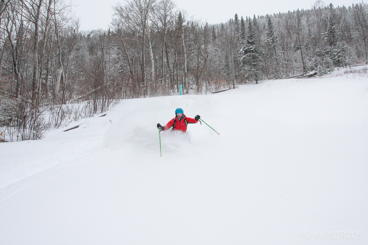
This blog has always frowned at the superlative degree of comparison. It’s not because we are party-poopers or Debby-downers. It’s because we love skiing on the East Coast, and we firmly believe that when a noisy authority resorts to phrases like “all-time” or “best ever” or “as good as it gets”, it’s a disservice to all that is East Coast Schuss. We’ve had a great 45 days of skiing since New Years Day, and maybe it’ll continue, but this isn’t all-time; this is above average, but well within the range of usual outcomes.
You’ll notice this is VTah Part IX, not VTah Part All-Time; this is one chapter in a long long history of a region that–for whatever reason–everyone thinks has shitty skiing but doesn’t. We wag our finger at the “all-time” standards bearers not because we don’t like those people, but because we are in love with the skiing here. These photos of good skiing and good snow and good times are our humble testament to the fact that in these modest Green Mountains of Vermont–dwarfed by Earth’s great ranges and yet the cradle of North American skiing–every once in a while we have the goodest skiing in the world. Every once in a while we have another VTah.
Git Sum (moar)
Mark it “FD”
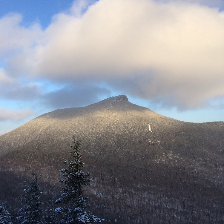
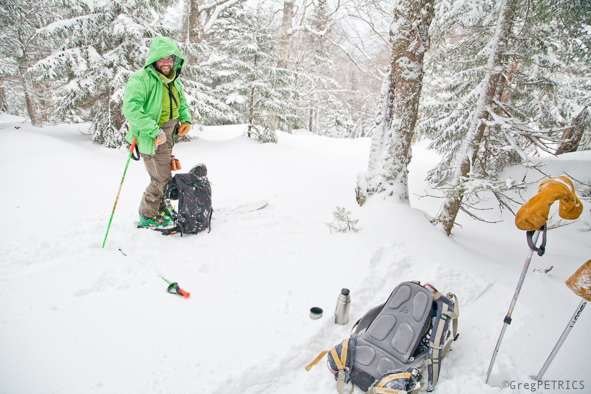
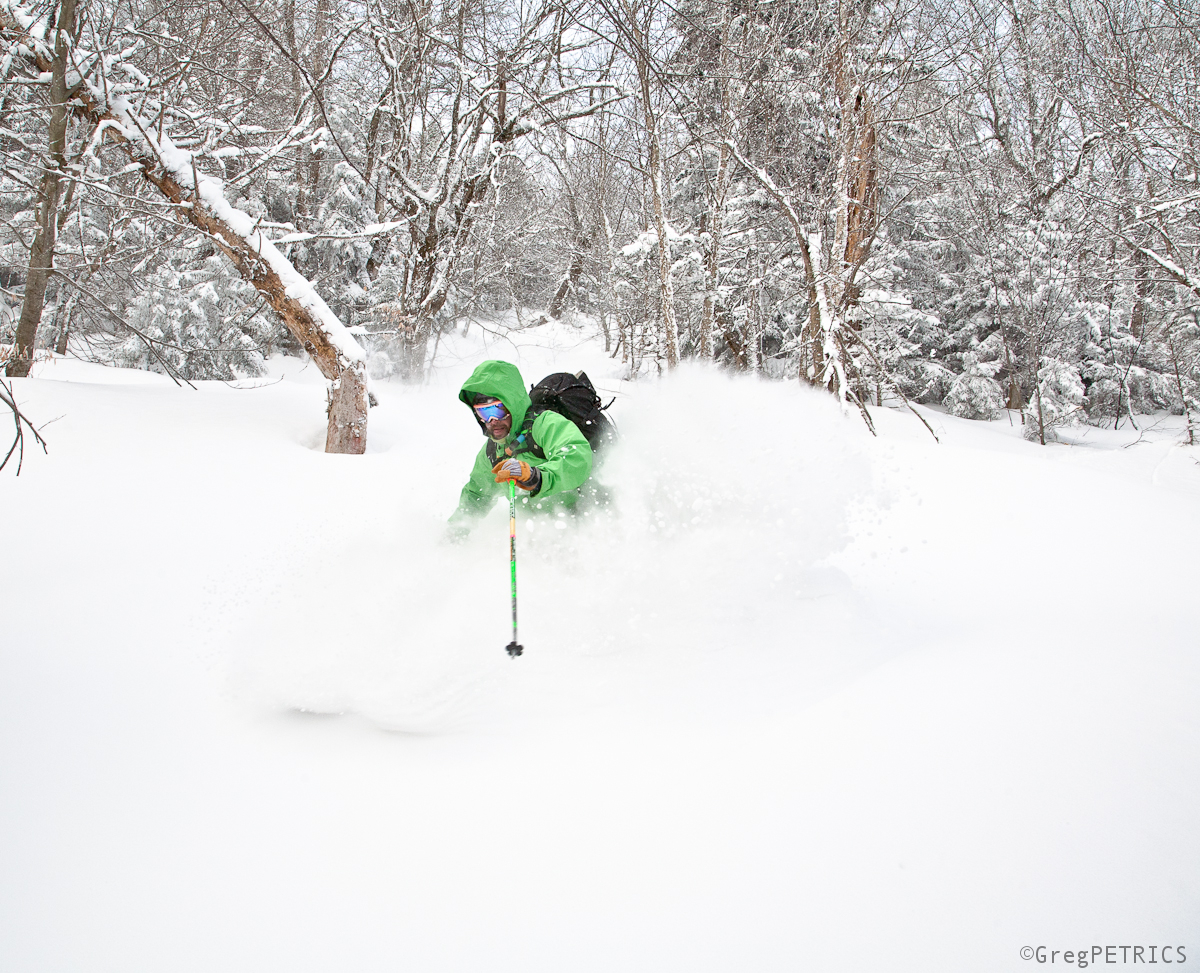
Recently, while out tromping around the neighborhood I noticed a new land-slide on this mountain with a Vermont State Quarter on it. I think this is the slide’s first Winter.
And that got me thinking about really important questions, like:
– At what elevation do deer turn into elk?
– Why did the Romans make so many ruined buildings?
– How many vertical feet does a ski line need to have for it to count as an FD?
For the last one, the only way to know is to try. So, I went out and I skied it. Because, what else do I have to do with my life?
That’s 2 minutes of your life you’re not getting back. This descent may or may not be a First; I won’t claim what I can’t know. But I’m gonna go ahead and claim the (other) FD, the Final Descent, since no one should come after me. Go ahead and mark it. Thanks.
Unless of course one of you want to go out and claim the (other) FD for yourselves. I’ve got a big fresh High Five for you if you do. Git sum.
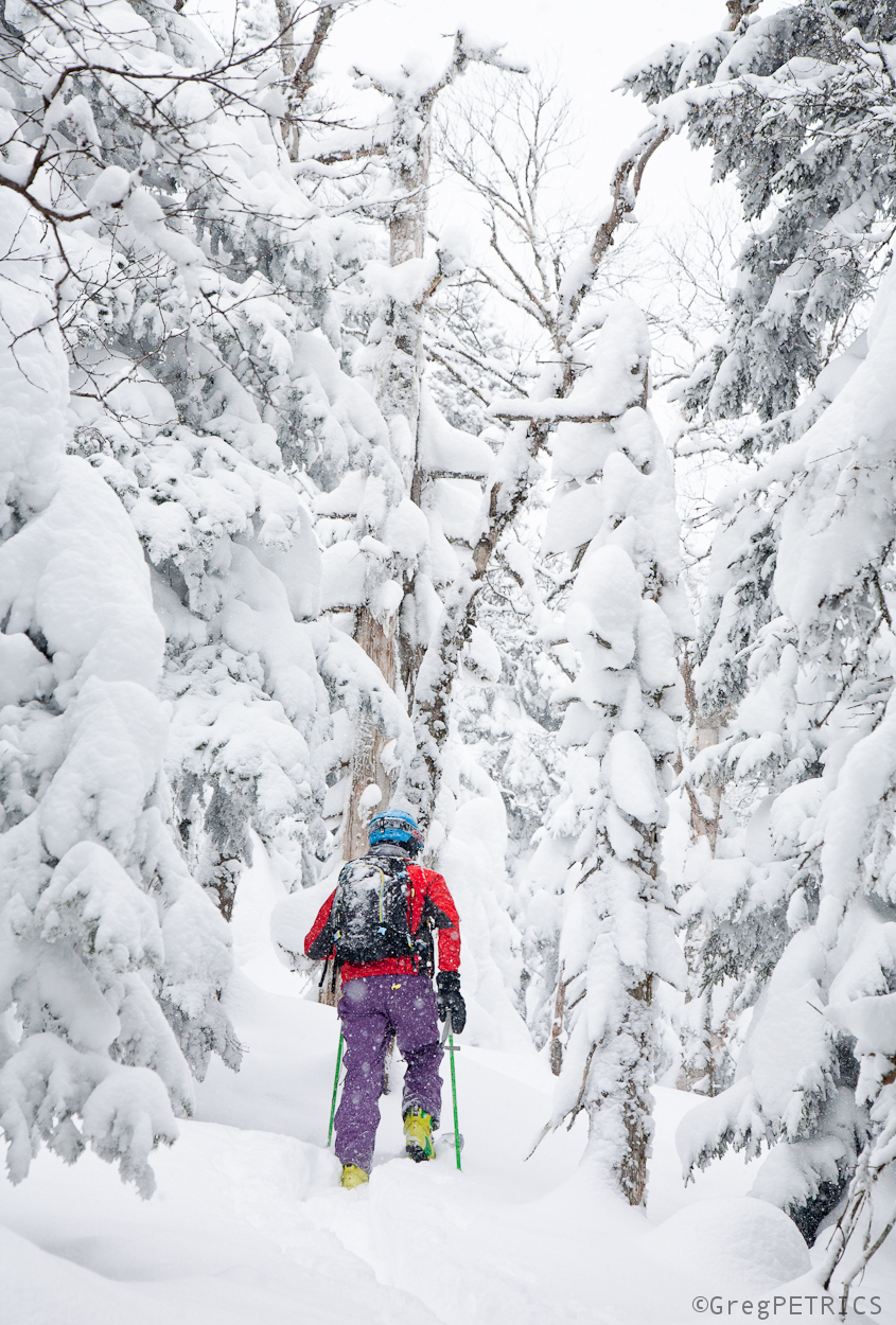
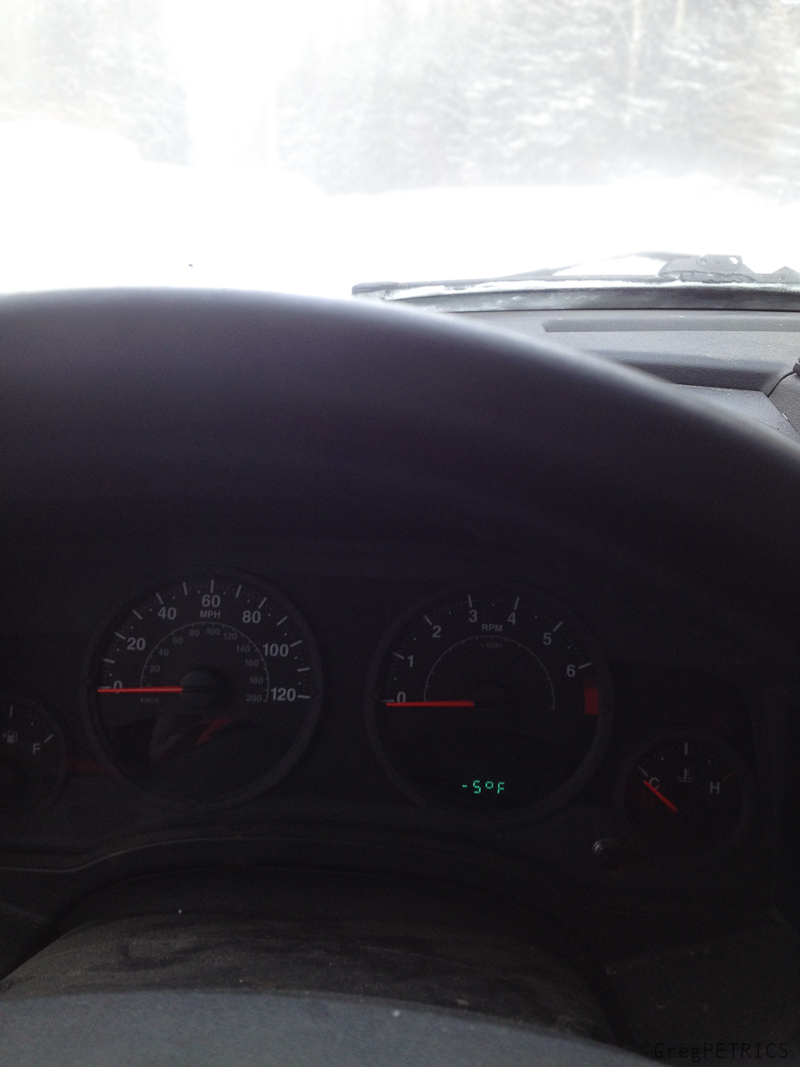
High (of Minus) Five
With a high of minus five…
…inside it’s easy to stay.
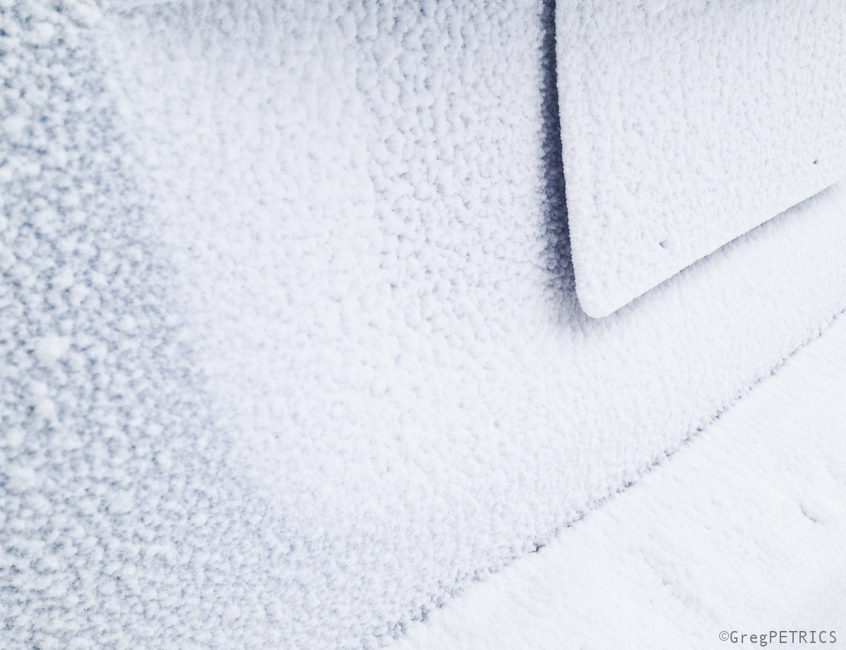
But with snow like this it’s time to make hay.
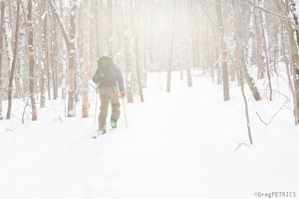
The pow might not last long, so don’t delay.
Plenty of good snow to be had near the Peak they call….. _________

-
Search
New Comments
macbook repair seattle said: “macbook repair seattle Let’s get it started...(read more)” about Let’s get it started
Greg said: “Thanks for all this great info. And...(read more)” about Skiing Mt. Colden’s Trap Dike
Greg said: “Definitely late, but always welcome!” about Skiing Mt. Colden’s Trap Dike
Bob said: “[* Shield Security plugin marked this comment...(read more)” about Skiing Mt. Colden’s Trap Dike
Regular paint Maintenance said: “Regular paint Maintenance Behind The Schuss(ic) :...(read more)” about Behind The Schuss(ic)
The 2012-13 Ski Season in Photos #13 | NY Ski Blog said: “[…] tweeting about big Memorial Day snow...(read more)” about pow
ml242 said: “LuckyLuc and MadPat on the same day?...(read more)” about Deep Cover Anthropology
Talbert said: “Long time no comment..... But great to...(read more)” about Man of Many Moods
Twitter Feed
-
Categories
- Skiing (438)
- Weather (188)
- WTF (5)
- Quick Update (173)
- Full Trip Report (165)
- WebiGNARs (45)
- General Interest (38)
- Site News (27)
- Summer (59)
- Hiking (26)
- Swimming (15)
- Climbing (13)
- Longboarding (3)
- Whitewater Kayaking (2)
- Mountain Biking (1)
- SPA (16)
- Gear Review (8)
-
Archive
- October 2018
- June 2017
- November 2016
- October 2016
- March 2016
- January 2016
- October 2015
- February 2015
- January 2015
- December 2014
- November 2014
- October 2014
- September 2014
- July 2014
- April 2014
- March 2014
- February 2014
- January 2014
- December 2013
- November 2013
- October 2013
- September 2013
- August 2013
- June 2013
- May 2013
- April 2013
- March 2013
- February 2013
- January 2013
- December 2012
- November 2012
- October 2012
- September 2012
- August 2012
- July 2012
- June 2012
- May 2012
- April 2012
- March 2012
- February 2012
- January 2012
- December 2011
- November 2011
- October 2011
- September 2011
- August 2011
- July 2011
- June 2011
- May 2011
- April 2011
- March 2011
- February 2011
- January 2011
- December 2010
- November 2010
- October 2010
- September 2010
- August 2010
- July 2010
- June 2010
- May 2010
- April 2010
- March 2010
- February 2010
- January 2010
- December 2009
- November 2009
- October 2009
- September 2009
- August 2009
- July 2009
- June 2009
- April 2009
- March 2009
- February 2009
- January 2009
- December 2008
- November 2008
- October 2008
- April 2008
- March 2008
- February 2008
-
Friends of F.I.S.

About Us:
We are a group of powder hungry, east-coast-bred, world-traveling skiers and riders who Earn Our Turns to bring you the best stoke a click-of-the-mouse can buy.We hope our adventures inspire you to Earn Your Turns as well!
LEARN MORE

Latest Weather
When one makes meatballs, one must begin with quality meats: ...
Read more in: Meatballs! (read more)