
Long Duration Complications
Last week I discussed complications. Nothing has changed since then, life is still complicated.
First, it is going to snow Tuesday into Wednesday. And the pieces are in place for it to keep snowing (in the mtns) at least Wednesday night into Thursday. And then likely Thursday into Friday. That’s all well and good and really awesome. In theory.
Well, the weather gods or the old gods or the whatever gods say fuck theory and give you the sloppy wack-a-do mess of a storm that is on our doorstep.
So lets break this down.
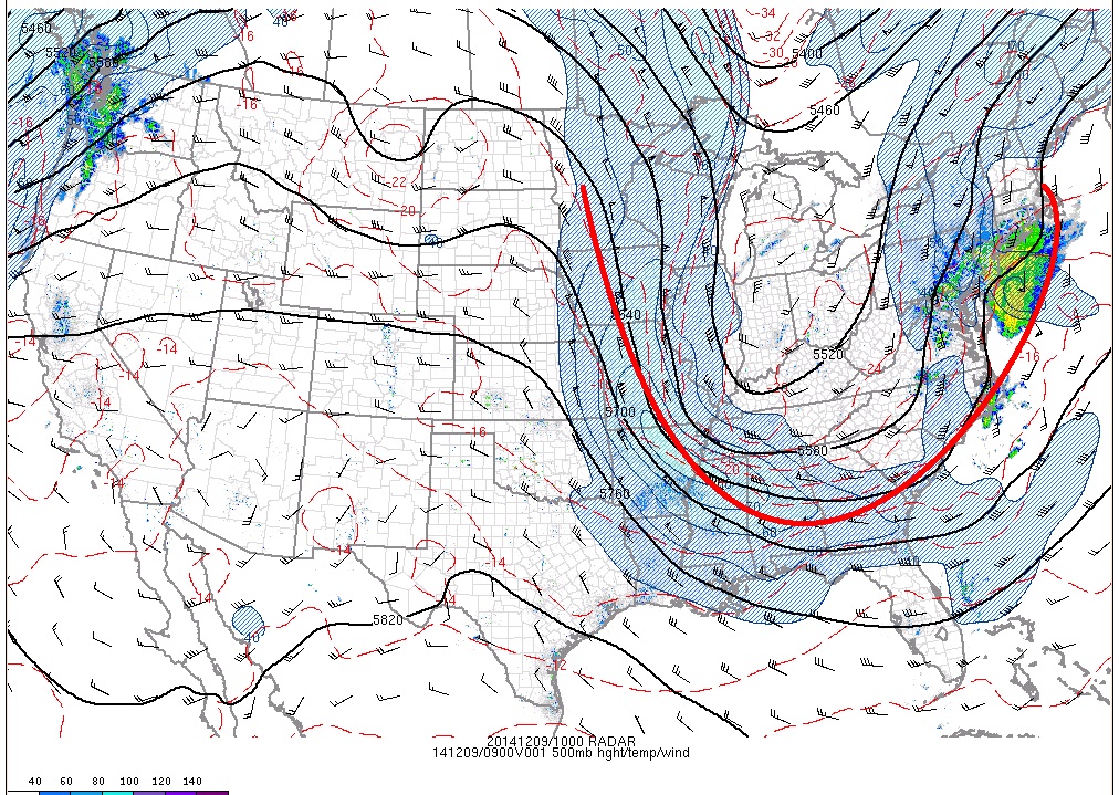
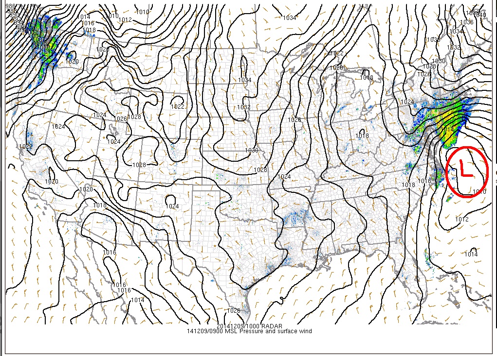
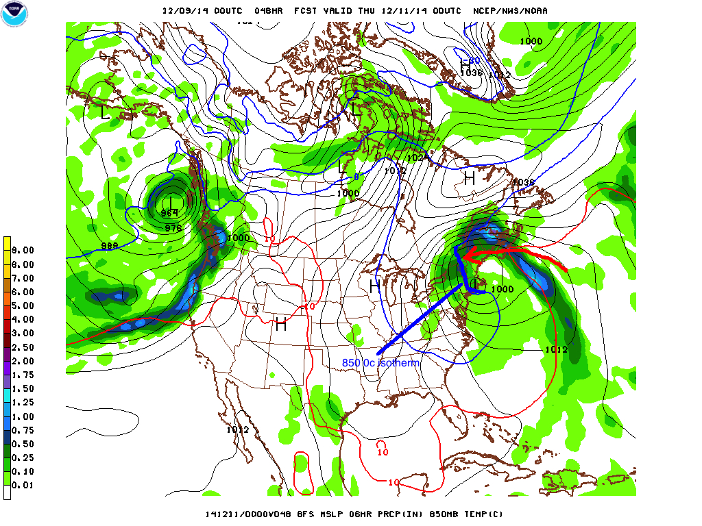
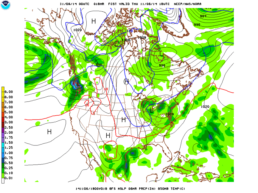
Today, a low pressure center is going to move north by northwest (already weird) and interact with a large trough dropping out of Canada.
In the current analysis you can see the large upper level trough and surface low very clearly.
500mb:
surface:
Last week I thought this “phasing” would not occur until the trough (well the critical exit region of the jet associated with the apex of the trough) was offshore to our east. I expected the cold high pressure of today (Monday) to be a little less french and resist movement. Nope.
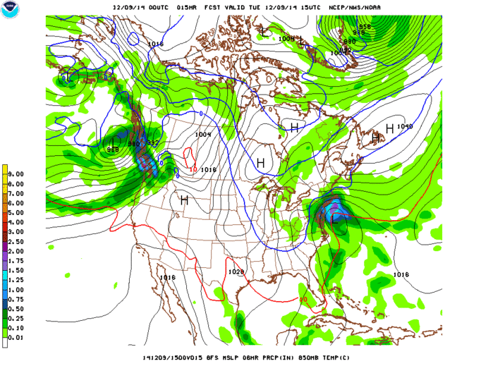
As the oceanic low pressure interacts with the trough today, upper level divergence will spark surface deepening and rapid strengthening. This will wrap the system up into a tight little ball that will track towards Long Island during the day Tuesday.
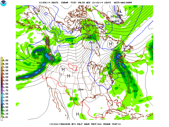
Tuesday into Wed. AM:
The first signature of this storm will be a VERY strong wind anomaly drawing air and moisture in from the east and moving towards the west. This is typical in coastal low pressure systems as part of the triple jet structure, however in this case the west-flowing oceanic mid level jet will be very strong and draw an extraordinary amount of Atlantic moisture into the system.
The result is a very heavy slug of precipitation at the outset of the system. Given that temperatures will be cold enough through out the whole column of air for m the Northeast Mtns (Cats, Berks, So. VT, Nor. VT, Maine, NH) for this first round of moisture to be mostly all wet snow. So beginning Tuesday mid-day and progressing through Wednesday AM the N/E will see a period of heavy snowfall, 1-2″ an hour at times. By Wednesday am, a widespread 8-12″ is likely.
If the story ended there, we’d all be happy. There would be much rejoicing. I prob. also would have ranted at the outset of this post. (Ok, I might have). Our story gets weird from here.
Instead of tracking northeast as coastal lows are want to do, this one will occlude and be drawn in under the upper level (500mb) low center. THis is the second signature of this storm. As the low does this, it will moves westward in over Mass, NH and So. VT. This will push a nose of warm mid-level air into the Northeast on Wednesday.
Areas to the east of the low pressure center will see temps move above freezing. Areas to the west (ADK) will likely see the column remain mostly cool. Where the boundary sets up between YEA! and Sad Trombone will be somewhere over VT.
Right now it looks like maybe that line wavers back and forth over the spine. My best guess though is that during the day Wednesday, that line sets up west of the spine. This isn’t a very moisture rich movement so the result will likely be generally light mixed precip. and drizzle over the “warm areas” and light snow back west of the ADK.
Once the surface and mid-level low pressure centers cut-off and stack under the upper level low, we say it has become “vertically stacked” and generally stagnant. From Wednesday night to Thursday our lil’ buddy will sit and spin as a stacked cut-off low over VT. Though it will be cut off under much cooler air as the strong flow of air from the east as been cut off.
During this period, an impulse will interact with the low and spark a round of heavier precip. to the west of the low (likely the Northern ADK) and generally light snow showers will persist as the moist rotating low interacts with mountains and some minimal upward lift occurs. The best chance for this to happen will be Thursday night as the center of the low moves eastward and the prevailing flow turns North/Northwest and some real orographic signatures begin to show up.
The low will exit the region on Friday and clearing skies likely for the weekend.
So what does all this add up to?
Snow by Wednesday mid-day likely a widespread 8-12, with some pockets a little higher down by the Catskills, and maybe Western Maine, and along with the high elevation ADK.
Additional snow through Thursday mid-day – Mostly drizzle/snizzle with possibility for more (2-4″) in the Northern ADK.
Additional snow Thursday night – Friday AM – Likely a few more inches widespread in the ADK and Nor. VT with the most in orographic favored areas.
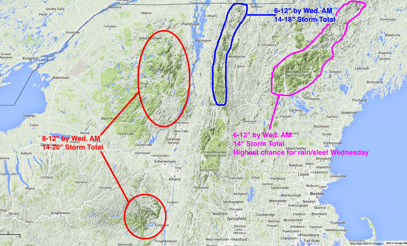
Now, there is a somewhat reasonable historical analog to this storm. In late February/Early March 2010 two storms moved in off the coast like this one and just PASTED the Northeast. I use “pasted” because it was pure paste. Like 2.5″ of water resulting in 18″ of snow. The place that did the best, in that event? The Catskills and the ADK where enough northerly cold air was drawn in to allow the mess to remain a snowy mess. Will this play out the same way? Possibly.
Life is complicated sometimes.
This weekend’s weather provides no exception to said rule.
On Friday a strong disturbance will move out of the American southeast and spread a shield of precipitation into the Northeast. The center of the disturbance will track southwest to northeast through southern NY, Conn and eastern Mass. Strong mid-level warm air advection associated with the low will push temperatures well above the very chilly temps we woke up to this morning. Associated with the low and warm air advection abundant mid-level lift will occur. This will produce pretty heavy precipitation (on the order of a widespread .5″ to 1″ qpf).
The complication to this event will be the northward impact of the warm mid-level air. Right now, the higher resolution models show the 850mb level warming to above 0C north to about Albany/Rutland with a spike through the Champlain Valley. The obvious impact of this is that the precip that falls during this period will not fall frozen. It does appear (now) that the Central ADK, and Green Mtns north of Rt. 125 or so will retain thermal profiles to allow frozen precip to occur down to about 2000ft through the entire event. I use the word frozen for a reason. With mid level warming sleet is highly likely through periods of this event. It will be close however.
As noted above…there is plenty of moisture streaming through. The result could be a very dense 3-5″(+) for the higher summits of the ADK, and the Greens north of the Midd Gap.
Further east, NH and Maine will see similar conditions. The DMZ if you will appears likely to reside somewhere in Central NH and just south of Sunday River. Likely the White Mtn ski areas and northern/western Maine areas stay on the “frozen” side for Saturday.
The next issue we have to deal with is what happens with a second impulse of energy riding along a front saturday into sunday. Right now models are split on how far south this impulse is shunted. If the frontal zone stalls through central VT, this wave will likely bring additional snows to the ADK, Greens and Whites. If it is pushed further south, the snow from this wave, light as it might be, will be further south. My guess, is that Sat-Sun could see another 1-3″
We’re not done. Next week from tuesday to Wednesday there are likely going to to be pieces in place that COULD result in a large coastal storm. Said pieces are a deep trough moving through the Great Lakes, and a shortwave of energy ejecting out of the GOM. If these pieces were to link up: boom. The EURO links them, as does other global models and develops a very large sub 980mb low inside the benchmark. Reuslt- impressive snows for the N/E. I don’t buy that solution. The GFS is slower with the southern low and as a result the interaction between the system occurs out to sea and the result is no pow for you. This seems the more likely solution given the overall timing of these types of systems. Obviously I’ll keep you updated.
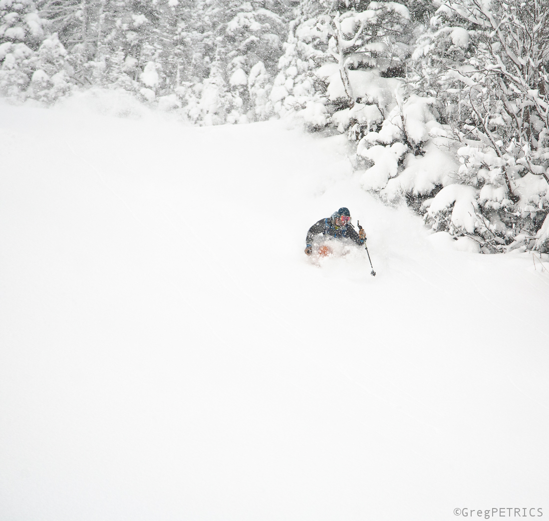
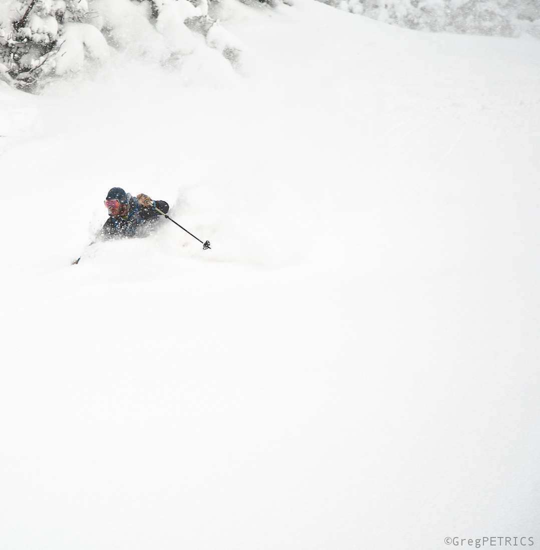
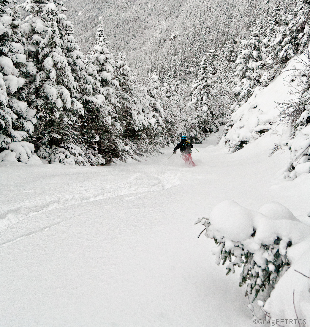
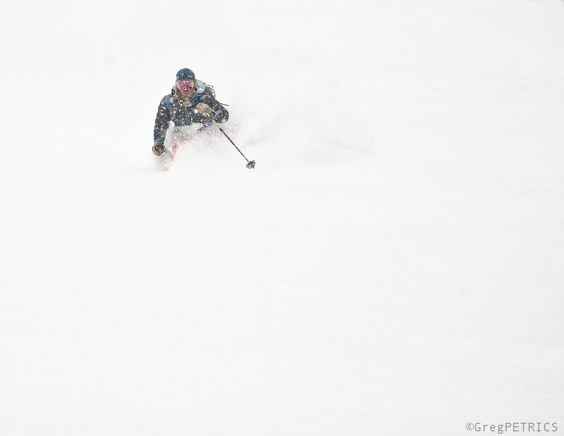
VTah Part VIII — The Fugaciousest Snow on Earth!
“Si nemo ex me quaerat scio; si quaerenti explicare velim, nescio.” — St. Augustine, Confessions, 397 CE.
It means: “If you don’t ask me, I know; if you ask me, I don’t know.” Augustine was speaking of time.
The point is that logic–the foundation of scientific investigation–doesn’t seem to penetrate certain corners of our universe. These corners just are.
I dare you: Stop and think.
I hopefully tricked you: You just found two of these corners. Maybe more.
Lately, Late
The first good snow fall arrived a little later than usual this year….and this post is late too, but on Sunday November 2, we woke up way too early…
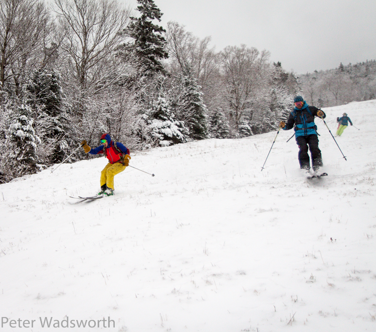
…and drove way too far….
…to ski very little snow….
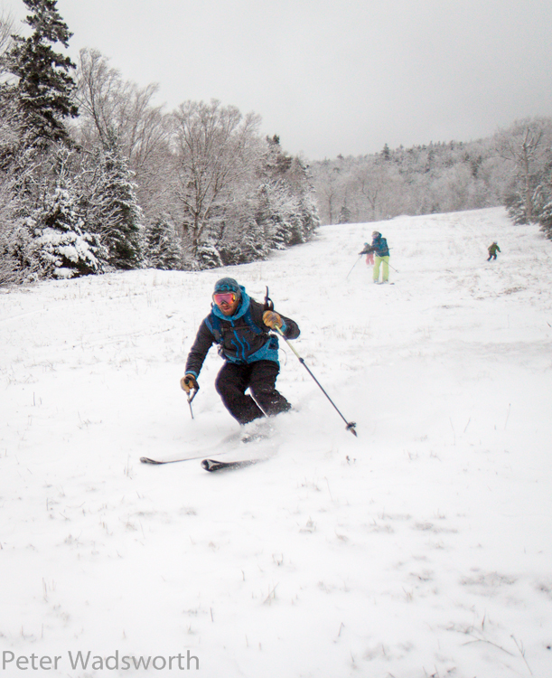
…and it was exactly as awesome as we wanted it to be. Hope you got yours too!
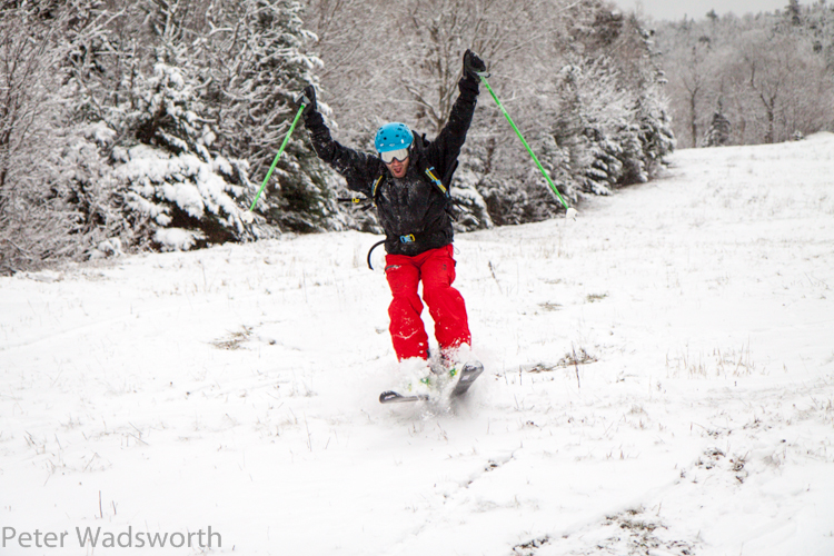
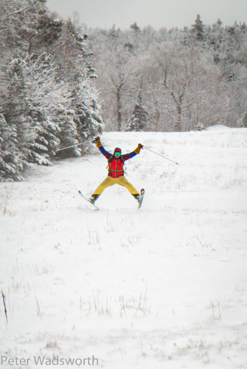
Git sum!
Let’s get it started
As I type this a storm system is dropping out of the great lakes and moving east. The primary center of the low will move into Pennsylvania and then swing through NJ and strengthen upon interaction with the coastal baroclinic zone.
This is a similar to the track low pressure took last weekend.The difference is that as the low pressure center digs southeast it will a) not go into the Carolinas and b) will redevelop along the coast further north and west. The system will then track just offshore of Connecticut, Mass and Maine.
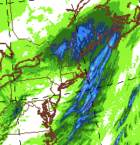
Here, lookie:
As the system rolls through, it will bring precip to the higher elevations (and maybe even lower elevations briefly). First, tonight warm air advection on south winds will bring a steady rain that will change over to snow above 2500 feet by early nighttime. Winds will be from the south as the system is to our southwest and south. Then as we move towards daybreak on Friday the system will bring precipitation on North and Northwest winds as it moves northeast to our east. Temps will fall Friday as the system pulls out. There will be a period of calm between the departing system and the advection of some cold moist air behind the system later friday. This air could spark some additional upslope accumulations.
Overall the models are fairly moist with this system.
12 hour totals by tomorrow AM:
However temps will be marginal and some snow that falls will be consumed by unfrozen wet ground. That said it is highly likely that elevations above 2500 feet will see 3-7″ of dense wet snow from this system with the potential for several more inches up orographic precipitation Friday into Saturday. (Of course this makes perfect sense since I’m out of town Friday into Saturday…… FML)
So there you go. Let’s get started.

-
Search
New Comments
macbook repair seattle said: “macbook repair seattle Let’s get it started...(read more)” about Let’s get it started
Greg said: “Thanks for all this great info. And...(read more)” about Skiing Mt. Colden’s Trap Dike
Greg said: “Definitely late, but always welcome!” about Skiing Mt. Colden’s Trap Dike
Bob said: “[* Shield Security plugin marked this comment...(read more)” about Skiing Mt. Colden’s Trap Dike
Regular paint Maintenance said: “Regular paint Maintenance Behind The Schuss(ic) :...(read more)” about Behind The Schuss(ic)
The 2012-13 Ski Season in Photos #13 | NY Ski Blog said: “[…] tweeting about big Memorial Day snow...(read more)” about pow
ml242 said: “LuckyLuc and MadPat on the same day?...(read more)” about Deep Cover Anthropology
Talbert said: “Long time no comment..... But great to...(read more)” about Man of Many Moods
Twitter Feed
-
Categories
- Skiing (438)
- Weather (188)
- WTF (5)
- Quick Update (173)
- Full Trip Report (165)
- WebiGNARs (45)
- General Interest (38)
- Site News (27)
- Summer (59)
- Hiking (26)
- Swimming (15)
- Climbing (13)
- Longboarding (3)
- Whitewater Kayaking (2)
- Mountain Biking (1)
- SPA (16)
- Gear Review (8)
-
Archive
- October 2018
- June 2017
- November 2016
- October 2016
- March 2016
- January 2016
- October 2015
- February 2015
- January 2015
- December 2014
- November 2014
- October 2014
- September 2014
- July 2014
- April 2014
- March 2014
- February 2014
- January 2014
- December 2013
- November 2013
- October 2013
- September 2013
- August 2013
- June 2013
- May 2013
- April 2013
- March 2013
- February 2013
- January 2013
- December 2012
- November 2012
- October 2012
- September 2012
- August 2012
- July 2012
- June 2012
- May 2012
- April 2012
- March 2012
- February 2012
- January 2012
- December 2011
- November 2011
- October 2011
- September 2011
- August 2011
- July 2011
- June 2011
- May 2011
- April 2011
- March 2011
- February 2011
- January 2011
- December 2010
- November 2010
- October 2010
- September 2010
- August 2010
- July 2010
- June 2010
- May 2010
- April 2010
- March 2010
- February 2010
- January 2010
- December 2009
- November 2009
- October 2009
- September 2009
- August 2009
- July 2009
- June 2009
- April 2009
- March 2009
- February 2009
- January 2009
- December 2008
- November 2008
- October 2008
- April 2008
- March 2008
- February 2008
-
Friends of F.I.S.

About Us:
We are a group of powder hungry, east-coast-bred, world-traveling skiers and riders who Earn Our Turns to bring you the best stoke a click-of-the-mouse can buy.We hope our adventures inspire you to Earn Your Turns as well!
LEARN MORE

Latest Weather
When one makes meatballs, one must begin with quality meats: ...
Read more in: Meatballs! (read more)